Category: Software

“DJI GS Pro” – Ground Station Testing

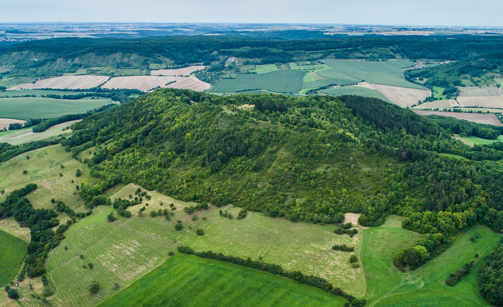
Some tests using the DJI GS Pro (Ground Station) software for automatic flight programming with the Phantom 4 Pro. New flight campaign at the Kuckenburg spot (Sachsen-Anhalt) finished with two different flight altitudes using DJI GS Pro – mapping the open archaeological excavation site of medieval church now in September 2017. This worked flawless – the only problem: you kind...

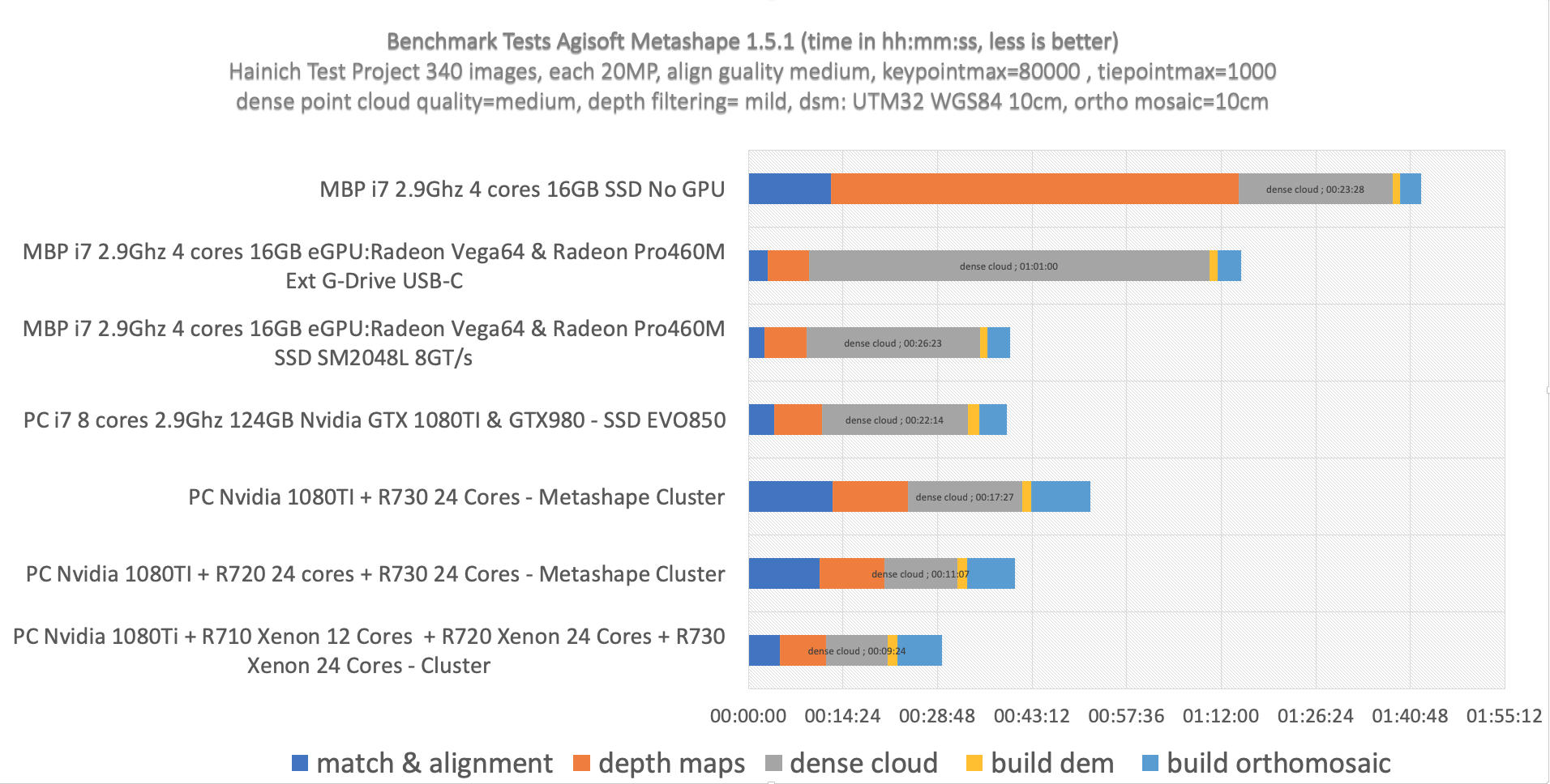
Speeding up Agisoft Photoscan

For some of the copter data processing folks Agisoft Photoscan turns out to be the most important tool to calculate point clouds, orthoimages and nadir data mosaics. Problem: very long processing times with dense point cloud calculations with high or ultra-high settings (full resolution image matching with SfM (Structure from Motion) algorithms). Some nice net finds show how multicore processing...