Geo-X8000 Octocopter
GEO-X8000 – Octocopter – overview
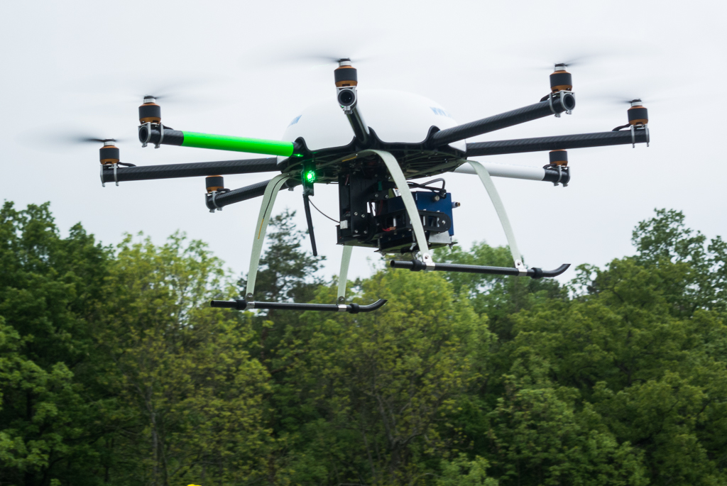
The GEO-X800 octocopter is a full sized industrial specified octocopter originally developed by Quantum-Systems but distributed f.e. by GeoKonzept.
The system comes as a full flight ready package with Yeti remote controller, recharcher, and flight control software as well as included flight intro course with the copter system.
The X8000 supports a multispectral camera system designed for UAS platforms (Tetracam) and has additionally a gimbal solution for a Sony NEX camera. The system comes in a Pelicase with special inlay layout for the various addons. The PC based mission planning software does the waypoint transfer to the copter. Life-Image feed is not available. This system is primarily for “large” scale mapping but the flight time is at the time of writing already reached by the Phantom 4 copter systems of DJI.
The multispectral Tetracam is one of the reasons you want(ed) the bigger octocpters but the MiniMCA that was ordered with this copter is still flawed by the firmware. Although from the specs clearly an important option of the camera we never managed to integrate the GPS position into the image file metadata and overall the quality of the images from the MiniMCA is indeed more 90s and not really state of the art anymore. The reflectance measurement that is integrated into the MiniMCA also didnt generate useful data. By the time of writing this in Nov. 2016 DJI provides different industrial solutions with NIR imaging. The Sony NEX camera will be likely out numbered by the DJI Phantom 4 Pro with its 20 Megapixel one inch sensor. The technological update cycle is just making some investments obsolet quickly.
Suggested max payload is 1kg, max flight weight is 4,5 kg.