April 17, 2026
Leaf-Off Flight Campaign in Park3D in`26
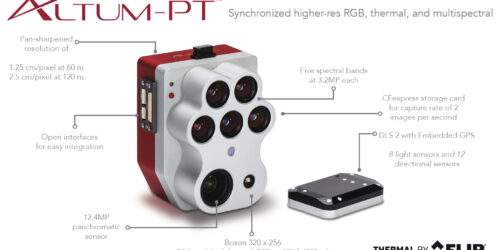
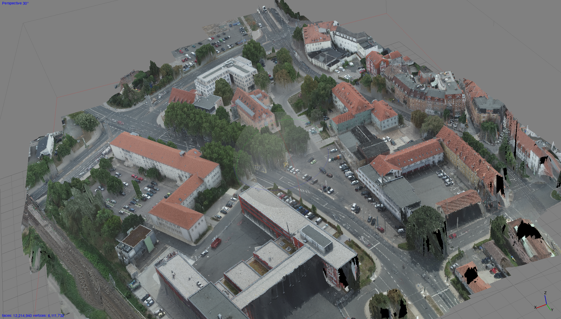
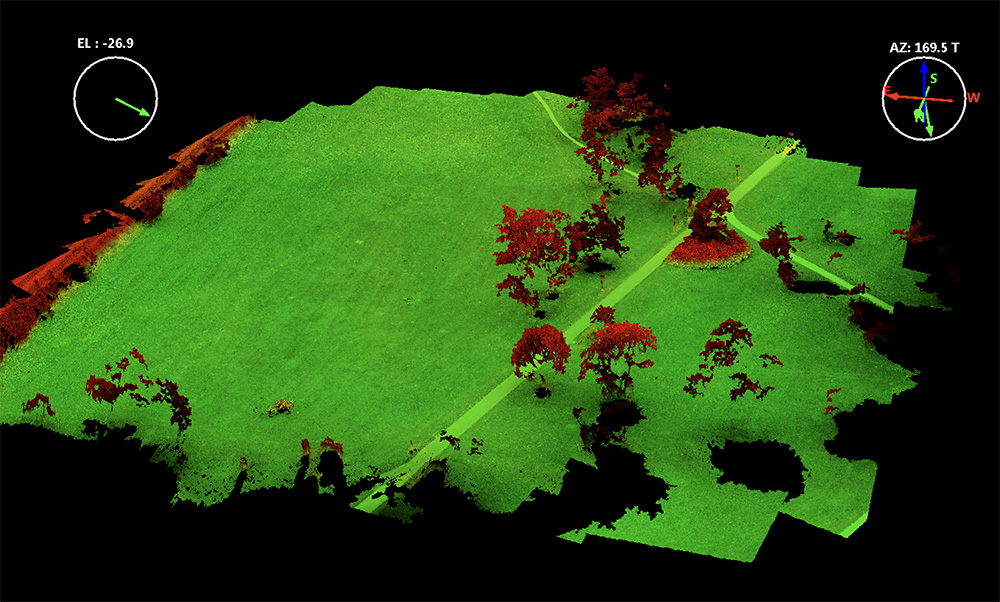
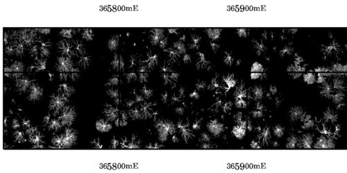
In march 2026, we began acquiring leaf-off data over all SPSG park areas in Potsdam as part of the Park3D project. This effort was primarily motivated by the improved potential for precise tree crown segmentation under leaf-off conditions. A key challenge in deciduous tree crown segmentation is that it is often not possible to directly verify whether a segmented...