DJIs new UAV Lidar System – the L3
DJI has recently announced the release of its new UAV LiDAR system — the DJI Zenmuse L3. For those engaged in UAV-based LiDAR research and applications, this long-anticipated successor to the L2 represents a significant technological advancement.
The cost of professional-grade airborne LiDAR systems with high-accuracy capabilities has remained relatively stable over the past years. For example, some of the RIEGL series scanners — with considerably higher weight — retails for approximately €180,000 and require an additional INS/GNSS (IMU) module as well as specific software licenses. In contrast, the DJI L2, priced around €14,000, offered a substantially more affordable entry point for research and commercial mapping projects. When combined with a DJI M350 RTK platform and necessary peripherals, the total investment was typically around €25,000. However, despite its attractive price-performance ratio, the L2’s precision and absolute accuracy never quite reached that of the more expensive high-end systems — until now, it seems.
The new L3 LiDAR reportedly achieves significantly higher horizontal (x/y) and vertical (z) accuracies, likely in the 1–3 cm range. It also offers marked improvements in point density, return capability, and imaging configuration. The LiDAR operates at a pulse repetition rate of up to 2 MHz and the imaging sensors capture 100MP stereo imagery at a frequency of one pair per second. The specifications suggest an extremely data-intensive system — one that will likely challenge even high-end workstations during post-processing. Appropriately, DJI has implemented the CFexpress Type B memory standard to accommodate the resulting data throughput.
One caveat is that the L3 is compatible only with DJI’s new M400 platform, the company’s latest industrial UAV. Users currently operating the M300 or M350 series will therefore need to upgrade their platform, including the associated battery systems and charging hub. Moreover, the L3 utilizes a new gimbal interface specific to the M400/L3 combination, which prevents easy interchangeability with payloads such as the Zenmuse P1. Given that the L3 integrates dual 100 MP stereo cameras, this limitation may be of little practical concern.
From a research perspective, the L3’s enhanced penetration and accuracy characteristics — particularly in leaf-off conditions — could have substantial implications for deciduous forest mapping. The system may even reduce the necessity of complementary terrestrial LiDAR surveys under certain conditions. With scanning parameters now approaching those of RIEGL’s airborne systems, yet offered at a fraction of the price, the L3 represents a potentially disruptive development in UAV-based remote sensing.
If the empirical accuracy performance meets DJI’s published specifications, we will acquire the L3 for our research group in 2026 — it appears to be a compelling and cost-effective choice.
– mtk.
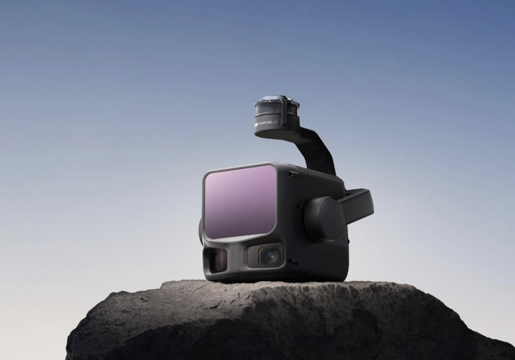
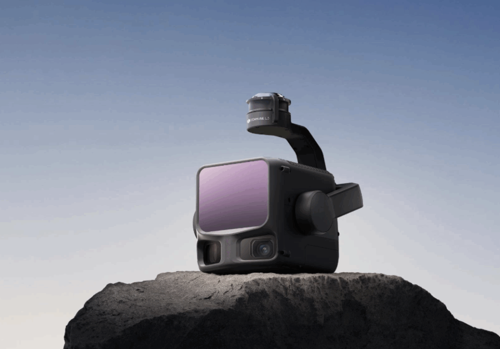
DJIs new LiDAR system – the L3 with improved scanning specs and dual 100MP stereo imaging capabilities.