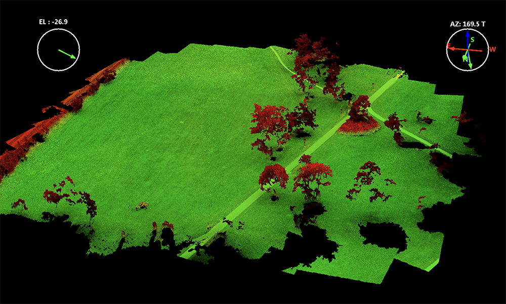
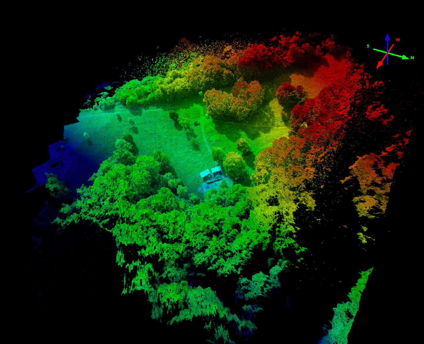
Home > Point Clouds / Quadrocopter / Teaching Erste Lehrbefliegung für den BSc Geographie Lehrbefliegung für GEO214 Categories:Point CloudsQuadrocopterTeaching Tags:educationflight planningPhantomQuadrocopterWorkflow Sören Hese Related Posts Crown Structure / Forest decline UPDATE: Flying for the Beech Trees II Agisoft / Crown Structure / Phantom / Quadrocopter Hotspot Effects in Micro Copter Data Archaeology / Phantom / Point Clouds / Quadrocopter Punktwolkenmodelle für die Archäologie Crown Structure / Forest decline / LiDAR / Park3D / Point Clouds / Quadrocopter / Workflow DJIs new UAV Lidar System – the L3 Agisoft / Crown Structure / Point Clouds / Workflow 3D point cloud of the 1000 years old Ivenacker Oack Trees Phantom / Reviews / Uncategorized Phantom 4 Pro – lens flare issues Prev Post “Geo409 Data Exploration” concept – UAV update Next Post 3D Point Cloud Mapping for Archaeological Applications
Crown Structure / Forest decline / LiDAR / Park3D / Point Clouds / Quadrocopter / Workflow DJIs new UAV Lidar System – the L3
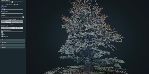
Agisoft / Crown Structure / Point Clouds / Workflow 3D point cloud of the 1000 years old Ivenacker Oack Trees