Lehrbefliegung für GEO214
Report zur Lehrbefliegung für die GEO214 (Fernerkundung II) – zur UAV Übung – vom 13.6.2017 südlich von Jena Stadt.
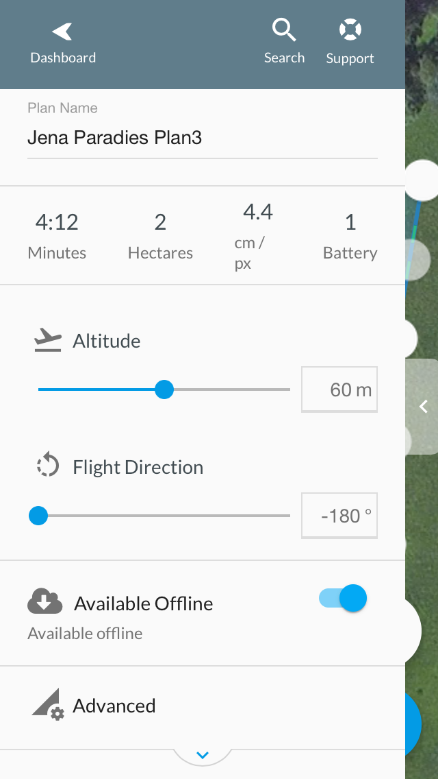
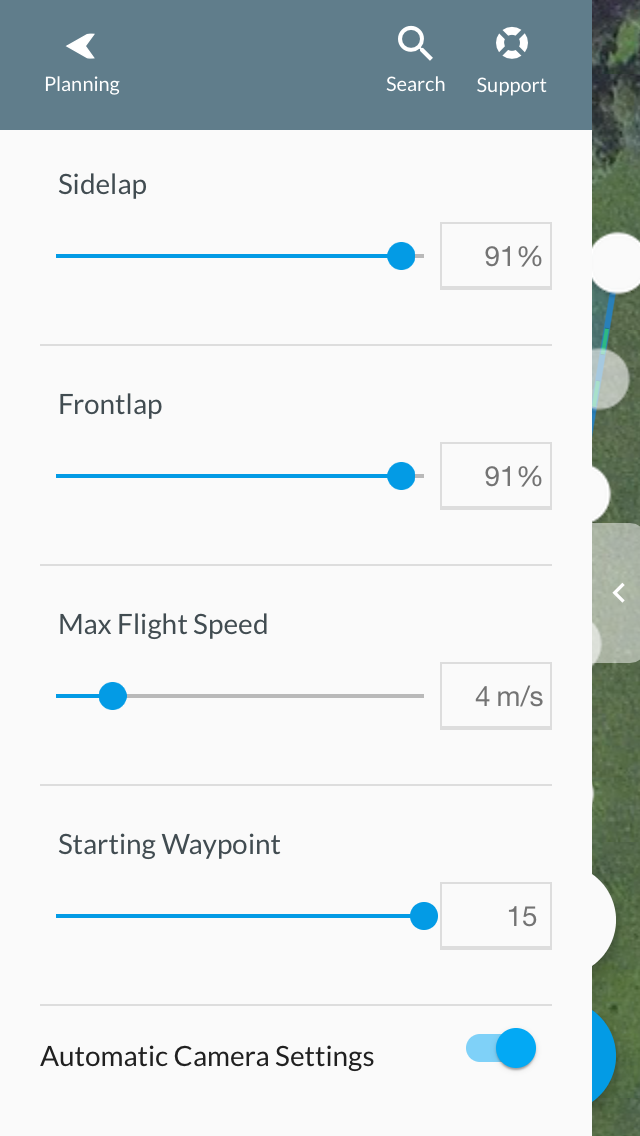
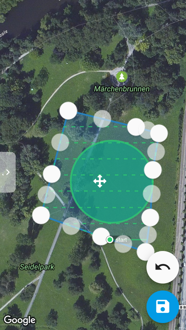
DJI Phantom 4 Pro Einsatz, vollständig automatischer Befliegungsmodus programmiert in Drone Deploy (mit manueller Landung), POI Flug & überlappender Nadir Flug, RTH Punkt update, 90% Überlappung in x und y Richtung, 106 Fotos full-res, aus 60m Flughöhe bei max 4m/s und Wind zwischen 2 und 4Bf.
Flugplanung in DroneDeploy (iOS Version), RTH und Statusabfrage in DJI Go (iPhone Version), Bilddatenprozessierung in Adobe LR6 und Punktwolkenberechnung/DEM und Orthomosaik Berechnung in Agisoft Photoscan 1.2.6, Punktwolkenvisualisierung in QT Reader, Punktdaten und Orthobild-Datenauswertung in Geo214 in Trimble eCognition.
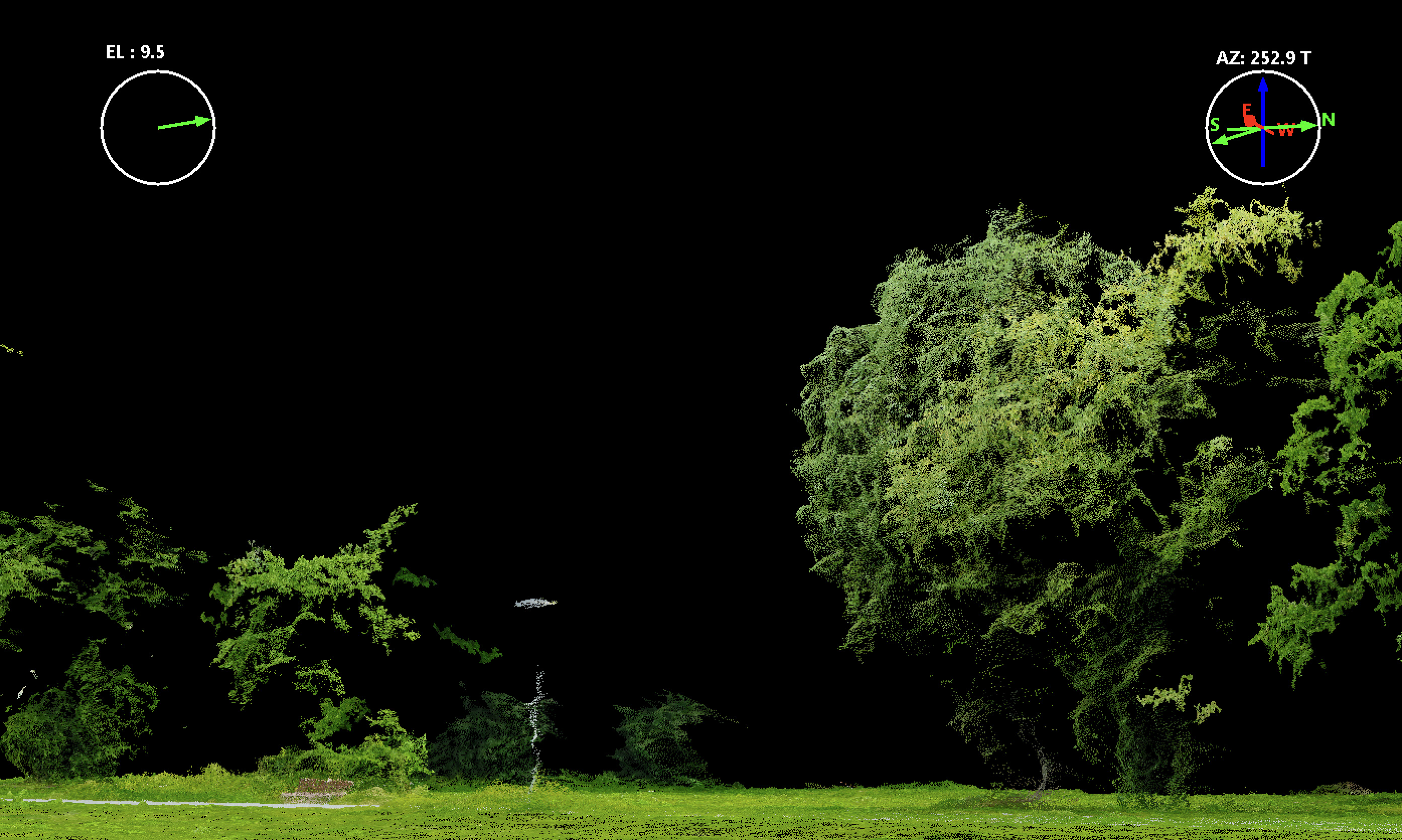
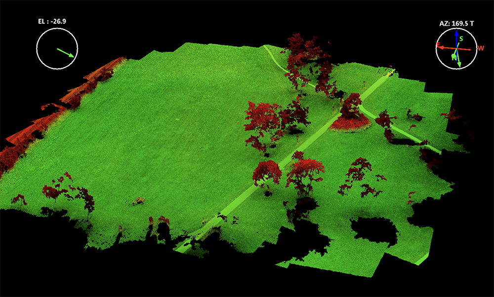
Point Cloud Screenshots aus dem QTReader:
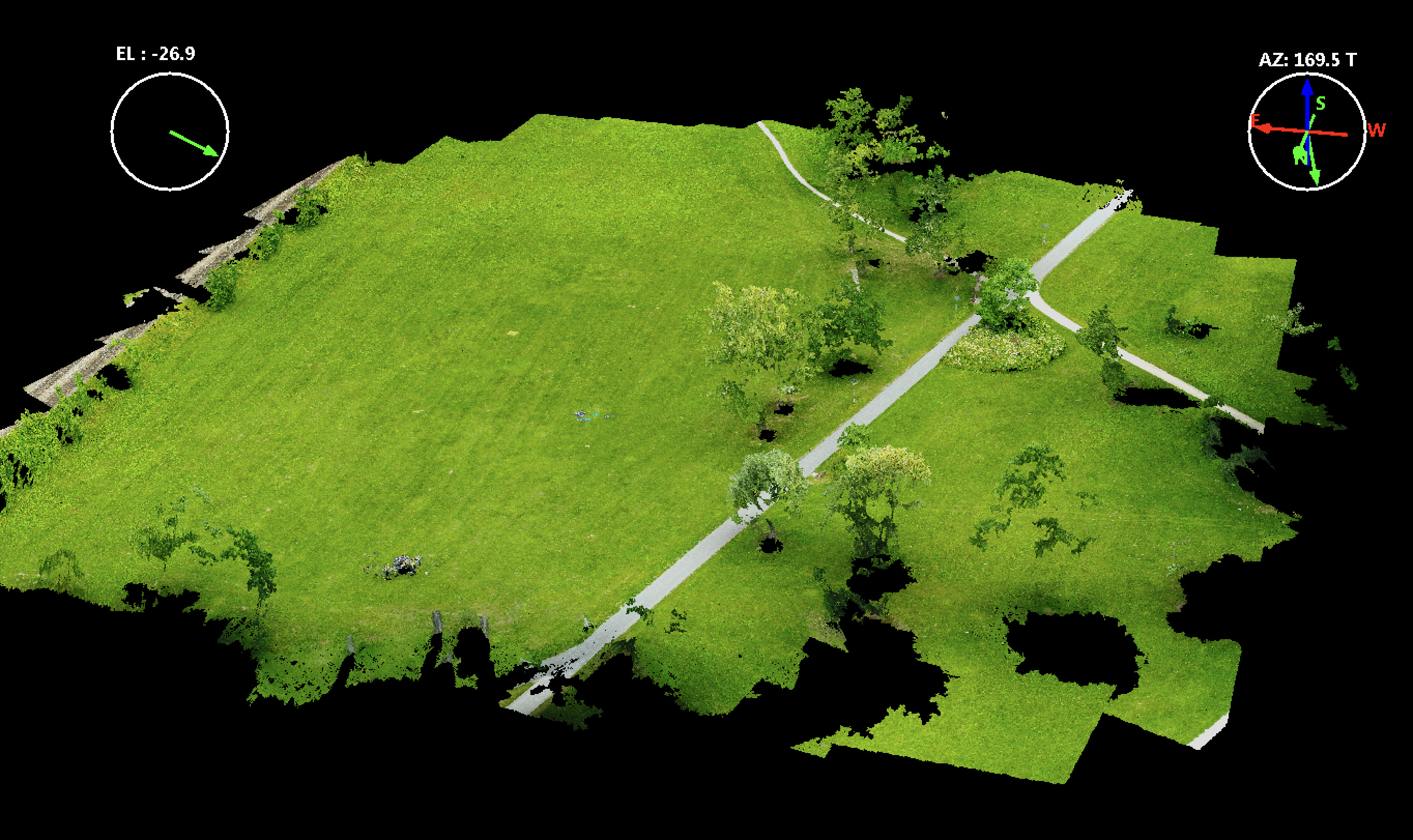
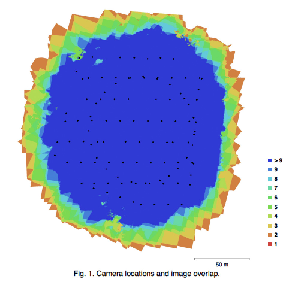
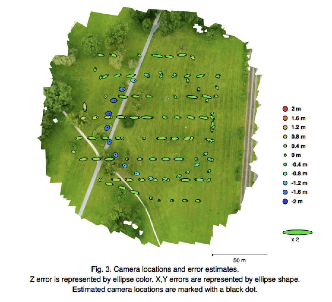
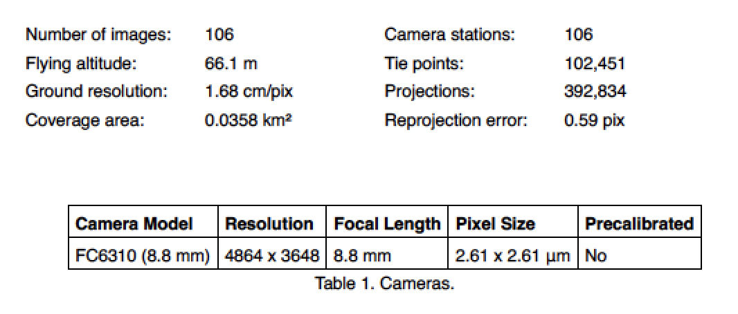
Cameras: 106
Aligned: 106
Coordinate System: WGS84
Points: 102451 – dense cloud: 31 mio
RMS reprojection error: 0.165 (0.59 pix)
Map reprojection error: 0.498 (41.32 pix) (based on GPS coordinates)
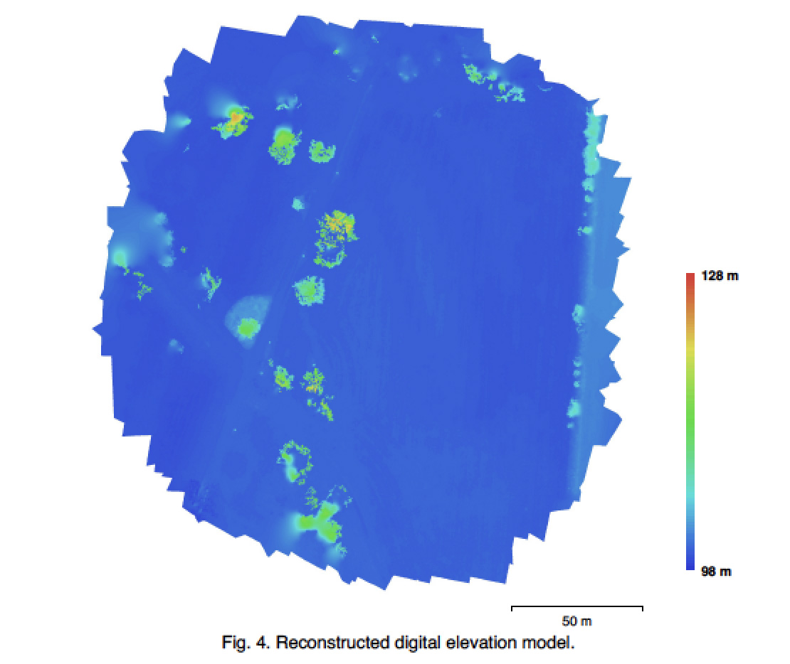
DEM: 6680×6760 pix WGS84 UTM 32N, base height (relative): x=, y=, z=
Ortho mosaic: 12242 x 13066 pix (2cm res.), WGS84 UTM32N, 3 channels uint8 Bit, mosaic.
Drone Deploy Phantom 4 pro Flugplanungssoftware (App basierte Flugplanung – iPhone Version):