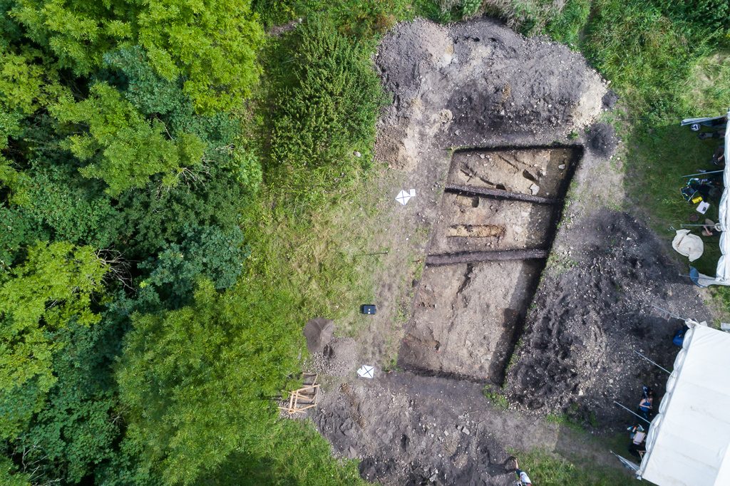
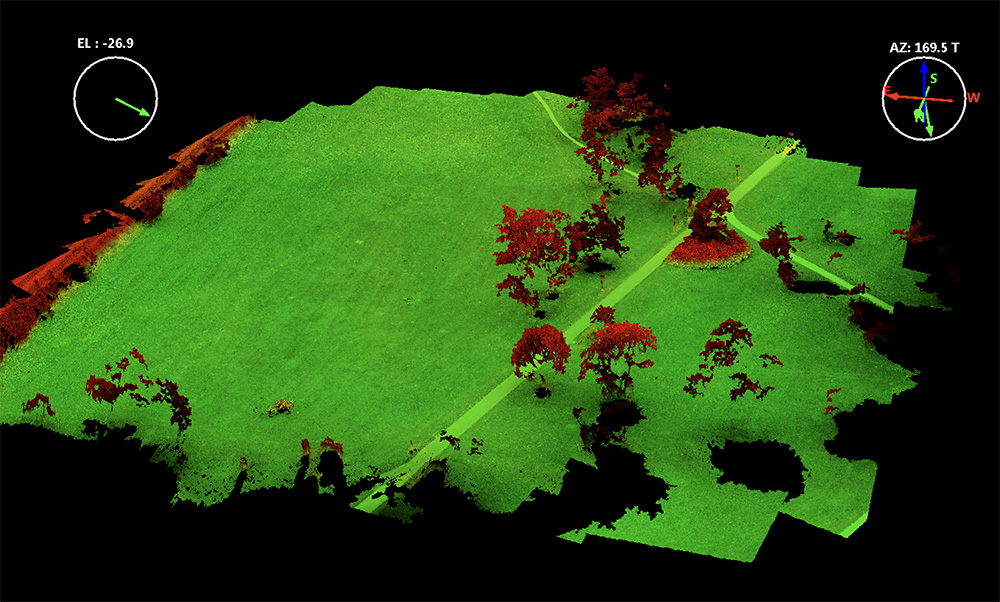
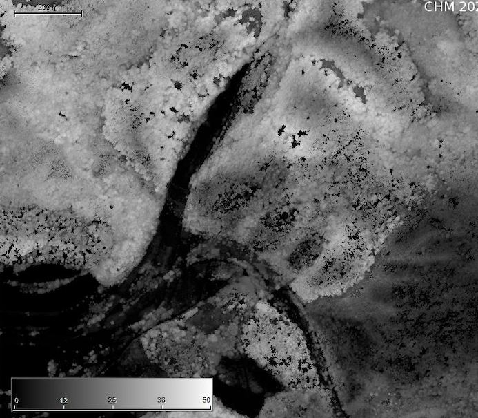
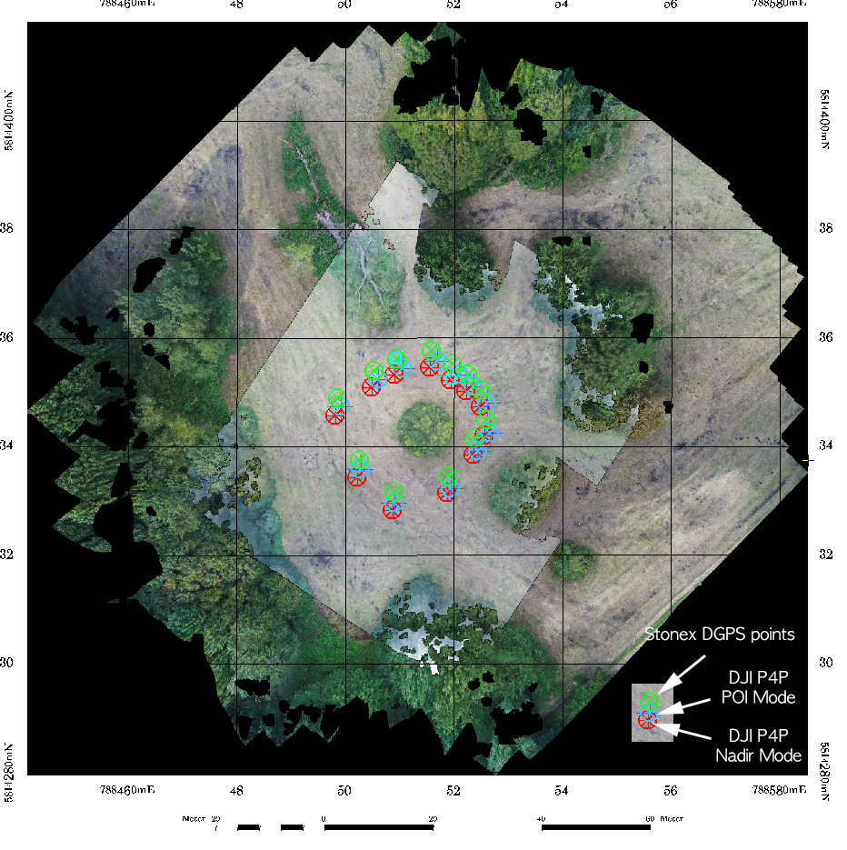
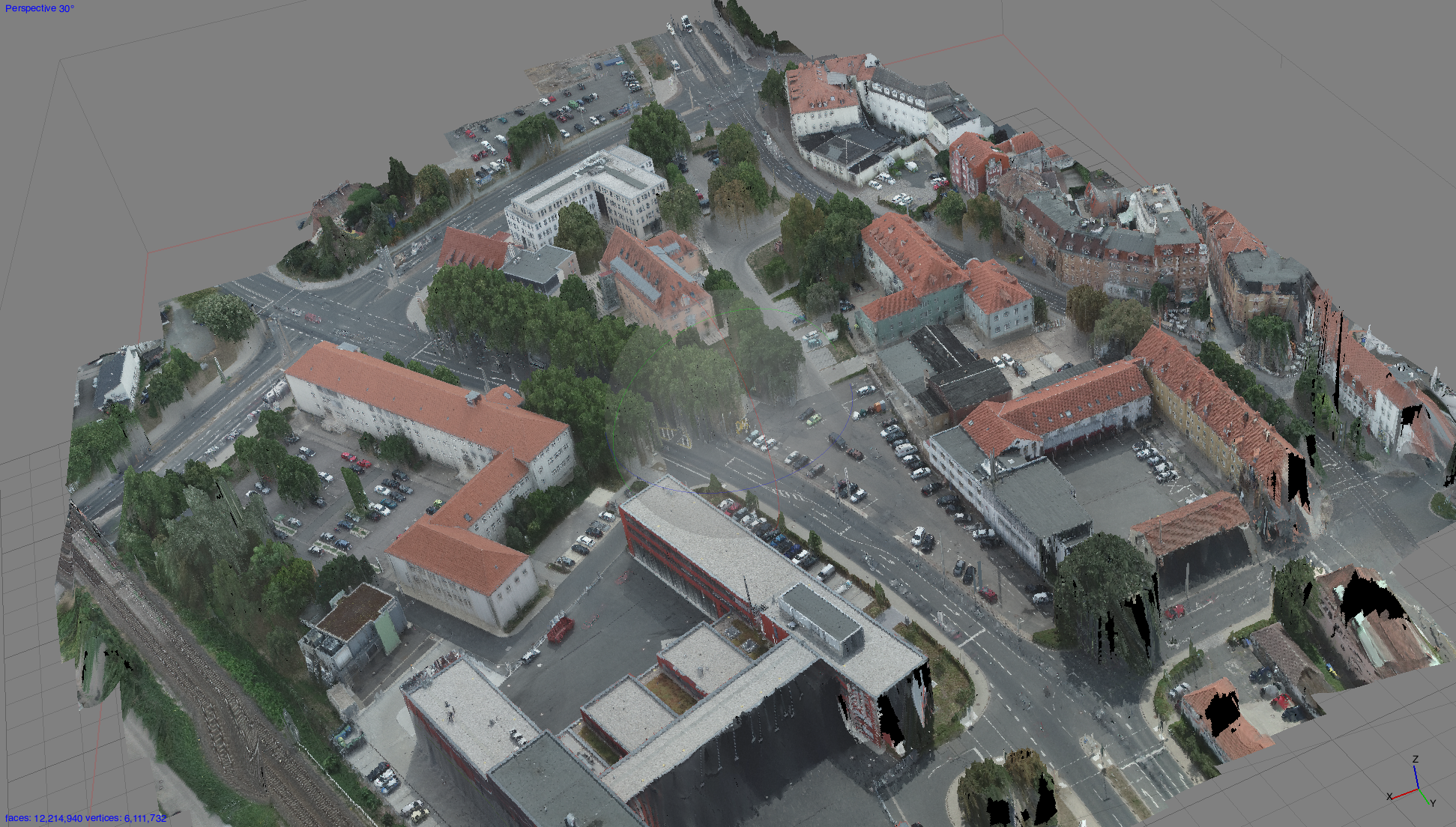
Home > Agisoft / Archaeology / Phantom / Point Clouds 3D Point Cloud Mapping for Archaeological Applications 3D Point Cloud Mapping for Archaeological Applications Categories:AgisoftArchaeologyPhantomPoint Clouds Tags:Archaeologyflight planningPhantomQuadrocopterWorkflow Sören Hese Related Posts Point Clouds / Quadrocopter / Teaching Erste Lehrbefliegung für den BSc Geographie "forest decline" / Crown Structure / Forest decline / Phantom Stand Gap Analysis in the Hainich National Park between 2018 and 2020. Agisoft / Phantom Absolut Accuracy of the Phantom 4 Pro Ortho Mosaic Agisoft / Phantom / Quadrocopter / urban Erste urbane Copter Befliegung über Jena Agisoft / Altum-PT / Forest decline / Park3D / Reviews / Workflow Micasense Altum-PT Data Capturing and Processing – the Park3D Project Quadrocopter / Reviews DJI Phantom 3A Review Online Prev Post Erste Lehrbefliegung für den BSc Geographie Next Post Paper Download from the UAV-g opened
"forest decline" / Crown Structure / Forest decline / Phantom Stand Gap Analysis in the Hainich National Park between 2018 and 2020.
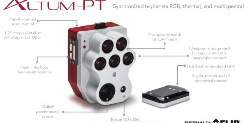
Agisoft / Altum-PT / Forest decline / Park3D / Reviews / Workflow Micasense Altum-PT Data Capturing and Processing – the Park3D Project