May 27, 2026
The Deciduous Tree Crown Segmentation Challenge
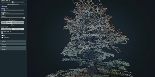
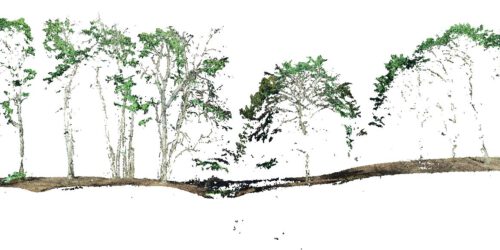
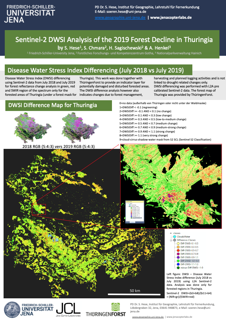
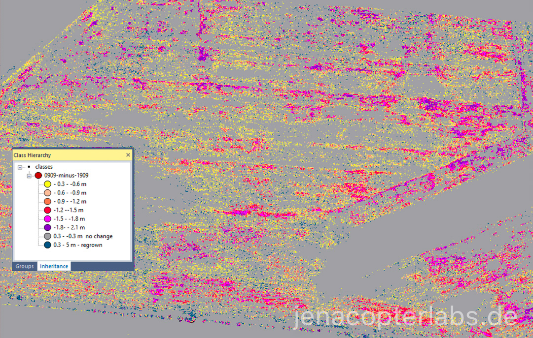
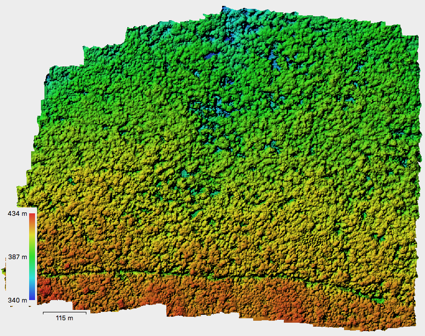
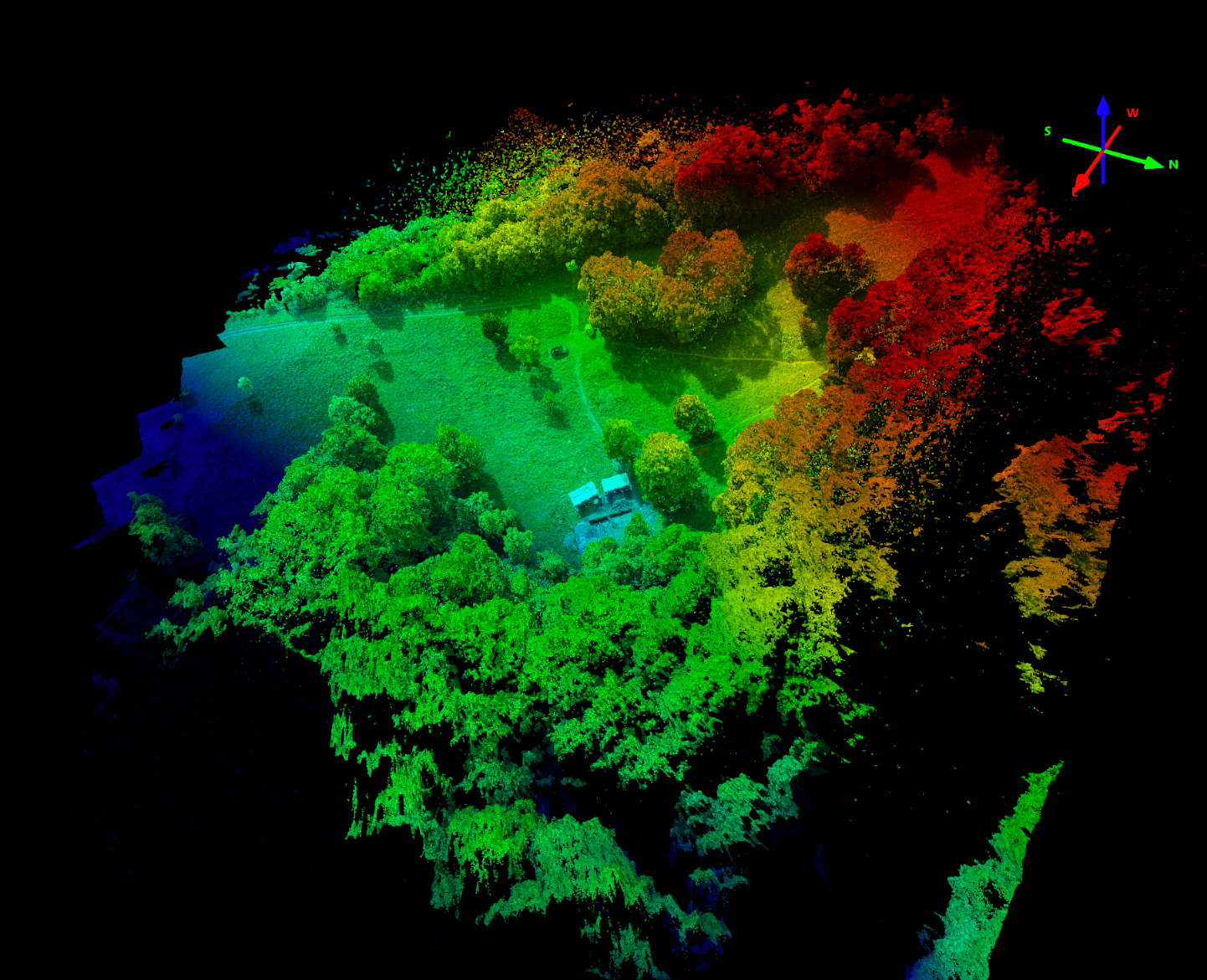
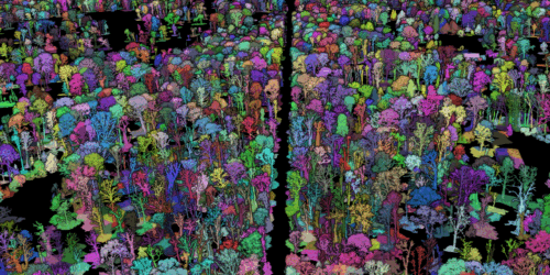
Deciduous tree crown segmentation is widely recognized as a particularly challenging task. While various approaches for conifer crown delineation have proven successful, their transferability to deciduous forest stands remains limited. Accurate crown segmentation constitutes a critical prerequisite for assessing the vitality of individual deciduous trees based on spectral or structural metrics. In particular, in dense deciduous stands characterized by...