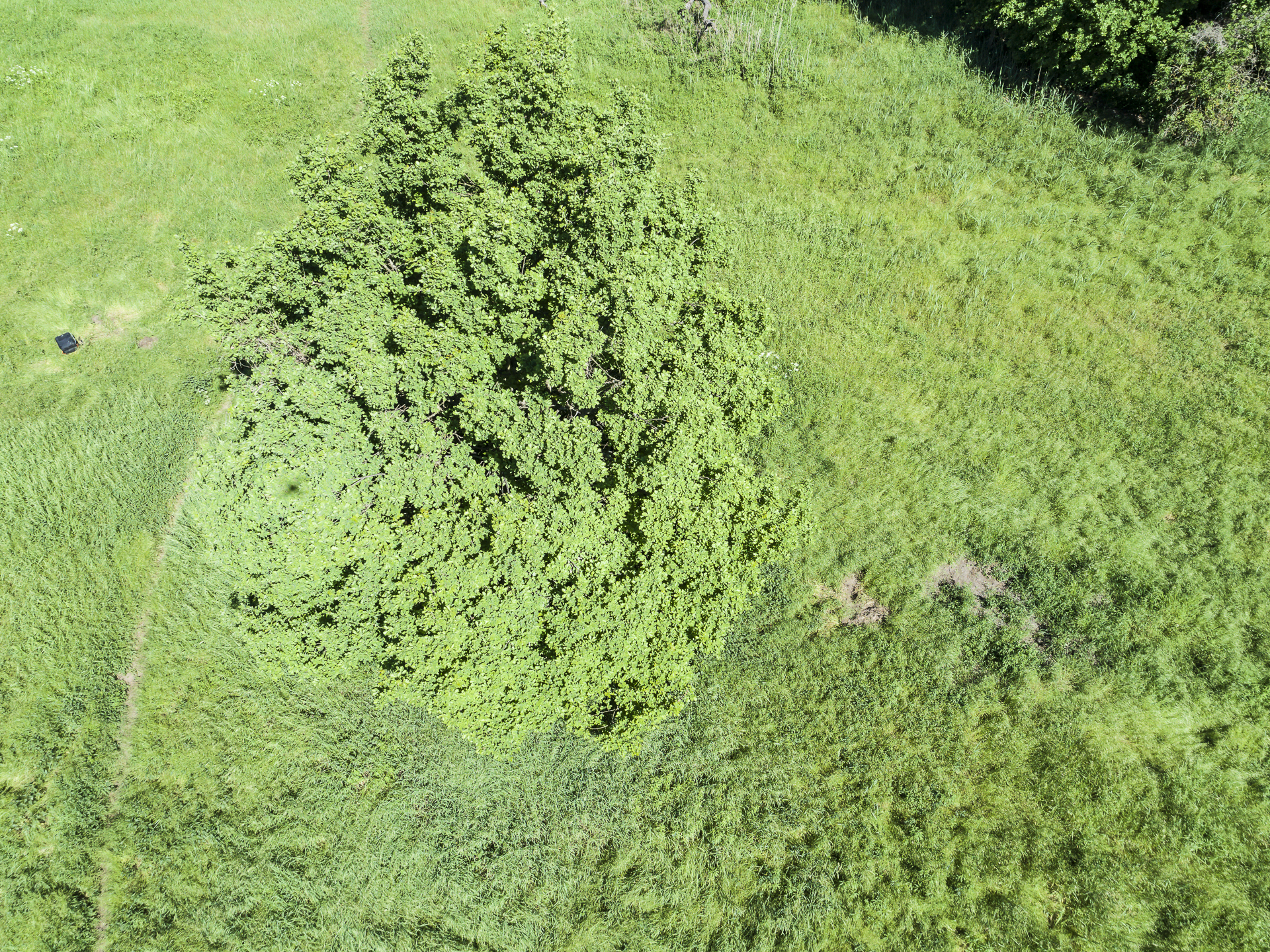
Home > "forest decline" / Crown Structure / Forest decline / Phantom / Point Clouds / Publications / Quadrocopter Beech Tree Decline Mapping Project – the Logbook of the Hainich National Park Activities and Vegetation Damage Mapping over Historical Deciduous Forests Beech Tree Mortality Analysis in the Hainich National Park Area – the Logbook Categories:"forest decline"Crown StructureForest declinePhantomPoint CloudsPublicationsQuadrocopter Sören Hese Related Posts "forest decline" / Crown Structure / Forest decline / Phantom / Quadrocopter Phantom 4 Multispectral (RTK) Agisoft / Crown Structure / Phantom / Point Clouds / Quadrocopter / Workflow The Hainich Flight Campaign Agisoft / Altum-PT / Forest decline / Park3D / Reviews / Workflow Micasense Altum-PT Data Capturing and Processing – the Park3D Project Agisoft / Crown Structure / Phantom / Quadrocopter Hotspot Effects in Micro Copter Data Agisoft / Archaeology / Phantom / Point Clouds 3D Point Cloud Mapping for Archaeological Applications Agisoft / Crown Structure / Phantom / Point Clouds / Workflow Oblique and cross-grid UAV imaging flight plans – a sneak preview of the analysis of resulting 3D point cloud properties for deciduous forest surfaces – low cost 3D mapping with the Phantom 4R (RTK) Prev Post CIR Airphoto Classification and Planning for 2020 Next Post UAV Flights in May 2020 over Hainich NP
"forest decline" / Crown Structure / Forest decline / Phantom / Quadrocopter Phantom 4 Multispectral (RTK)
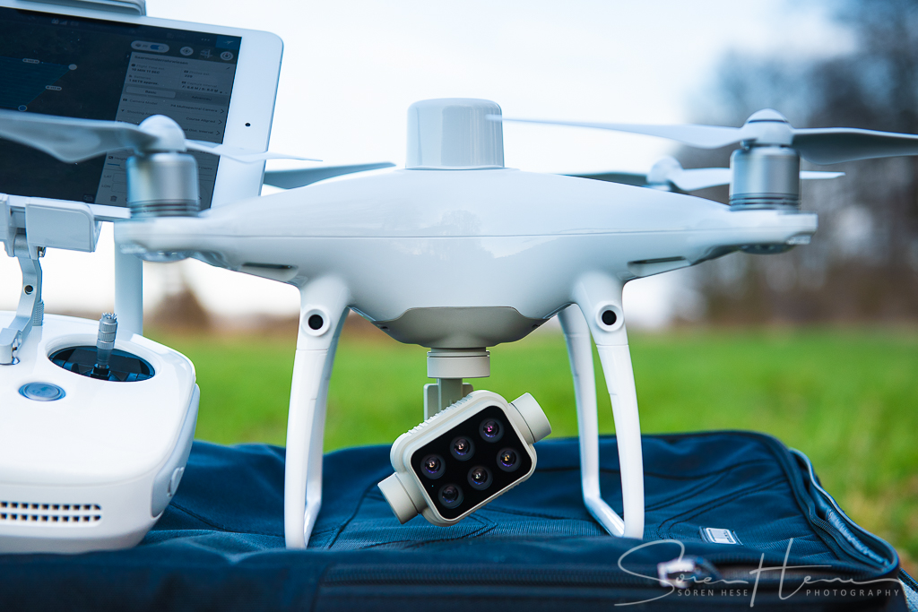
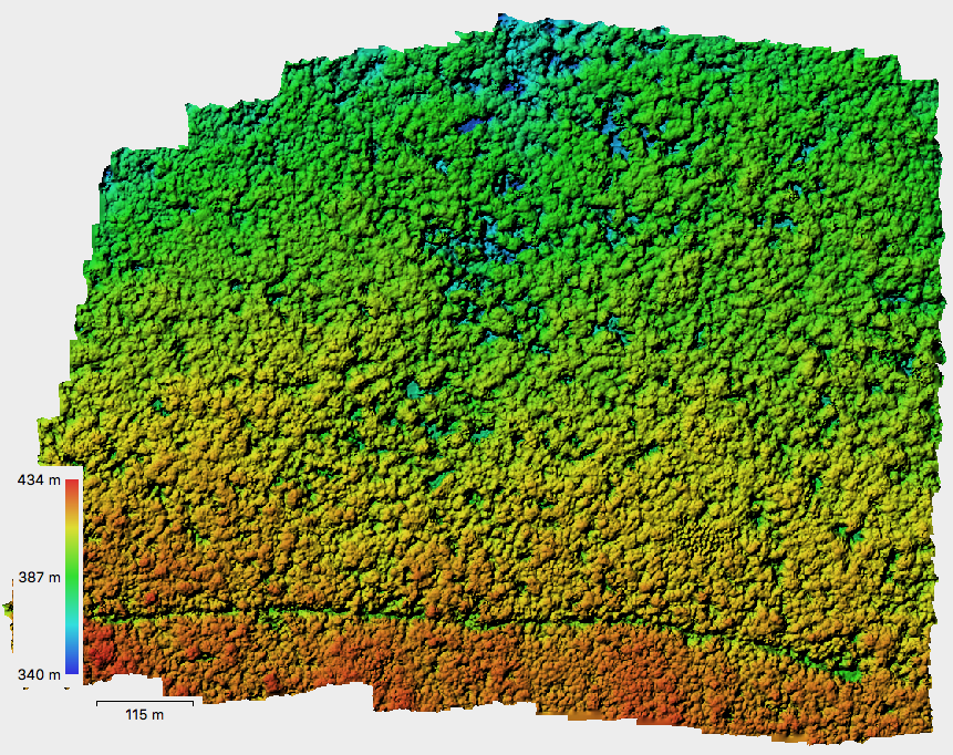
Agisoft / Crown Structure / Phantom / Point Clouds / Quadrocopter / Workflow The Hainich Flight Campaign
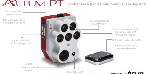
Agisoft / Altum-PT / Forest decline / Park3D / Reviews / Workflow Micasense Altum-PT Data Capturing and Processing – the Park3D Project
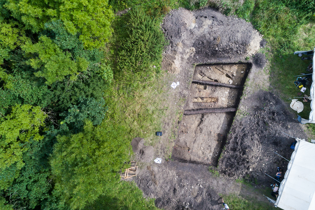
Agisoft / Archaeology / Phantom / Point Clouds 3D Point Cloud Mapping for Archaeological Applications
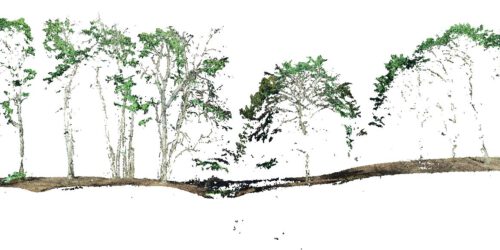
Agisoft / Crown Structure / Phantom / Point Clouds / Workflow Oblique and cross-grid UAV imaging flight plans – a sneak preview of the analysis of resulting 3D point cloud properties for deciduous forest surfaces – low cost 3D mapping with the Phantom 4R (RTK)