Summer `26 Park3D flight campaign finished
Summer Campaign 2026 – SPSG Parks, Potsdam
The summer flight campaign of 2026 has now come to an end. This week we completed the final acquisitions over Pfingstberg and Ruinenberg, concluding eight consecutive days of airborne data collection across the historic park landscapes of the SPSG in Potsdam.
In total, approximately 800 ha were surveyed, acquiring leaf-on DJI L2 LiDAR data at an average density of ~500 points m⁻², complemented by 4 cm GSD True Ortho imagery captured with the DJI Mavic 3 Multispectral Enterprise and DJI Matrice 4 Enterprise systems.
This year’s campaign proved considerably more demanding than in 2025. Peak canopy phenology during the first week of July coincided with unstable weather, persistent cloud cover, and frequent patches of early morning fog, leaving only narrow windows for data acquisition.
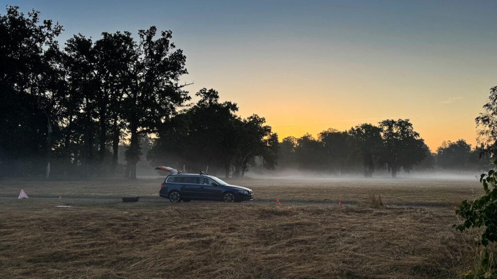
Yet those early mornings remain one of the most rewarding aspects of field work. Leaving home at 4 a.m., driving through almost deserted streets with the first sip of coffee while the city is still wrapped in silence and thin morning mist, offers a rare perspective that few people experience. Drone operations typically began shortly after 5 a.m., and by around 7 a.m. all flights were completed before thermal activity and increasing wind conditions could affect data quality and more people visiting the parks. Afterwards there was just enough time for a quiet breakfast while Potsdam slowly came back to life—cyclists on their way to school, the first commuter traffic, and the city gradually returning to its daytime rhythm. By the time I arrived back home, the children were preparing for school and an entirely different day was beginning.
From a scientific perspective, the 2026 campaign marks an important milestone. For the first time, two complete leaf-on LiDAR datasets exist for all monitored SPSG park regions, enabling direct multi-temporal analyses of canopy point density and foliage structure at the individual tree level.
To maximize temporal comparability, flight geometries were kept identical between both years. Consequently, density calibration primarily has to compensate for only two acquisition-related parameters that changed because of updated STS-01 operational requirements: flight strip overlap and flight velocity.
The side overlap was reduced from 75% (2025) to 50% (2026). This effect can be corrected comparatively straightforwardly by exploiting the GPS time stamps recorded for every LiDAR return. Clustering the observations into individual flight strips allows systematic removal of every second strip group together with its associated points, thereby reproducing an effective overlap comparable to the 2025 acquisition.
Compensating for the change in flight speed—from 7 m s⁻¹ in 2025 to 5 m s⁻¹ in 2026—is substantially more challenging, as the slower platform velocity intrinsically increases local sampling density. Our current approach defines reference test areas that, by design, should exhibit equivalent canopy structure across both epochs. Based on these reference sites, an area-based point density normalization (points m⁻²) is applied before subsequent analyses. Whether this normalization sufficiently removes all acquisition-related artifacts remains to be evaluated, and alternative calibration strategies may become necessary depending on the validation results.
Fortunately, most components of the processing pipeline are already operational. The bottom-up tree segmentation framework, individual tree reconstruction, TreeQSM analysis, and canopy density analysis have largely been established over the past months. This should allow us to move directly toward multi-temporal comparisons of individual tree objects and, ultimately, quantify changes in foliage density and canopy structure across the monitored park landscapes.
mtk.
Sören
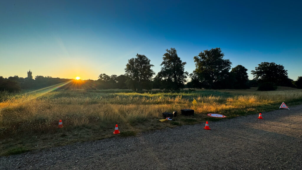
Fig. 1: Park Babelsberg, early morning visual from the start pad area in the very south of the park area.
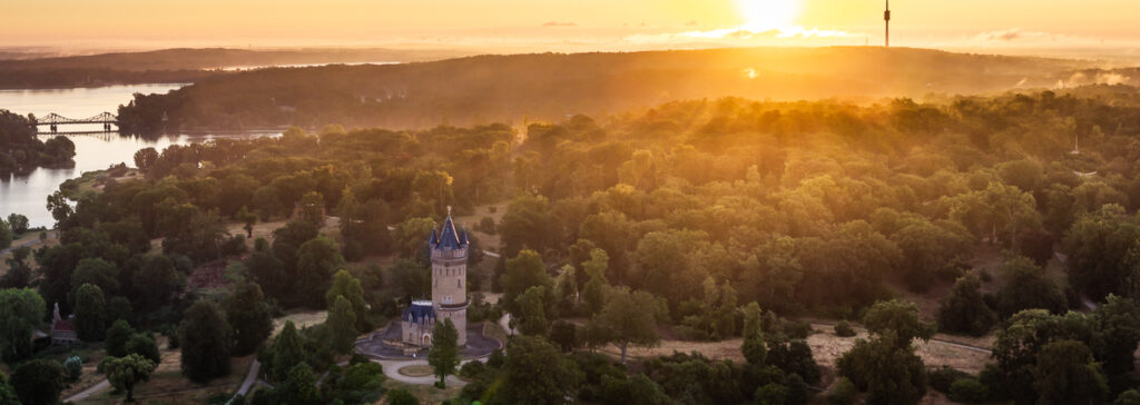
Fig. 3: Park Sanssouci at 5 a.m. Fog – while beautiful to look at in the early morning hours – usually is not welcome with LiDAR data acquisitions but it disappeared quickly. Three different positions for VLOS flights.
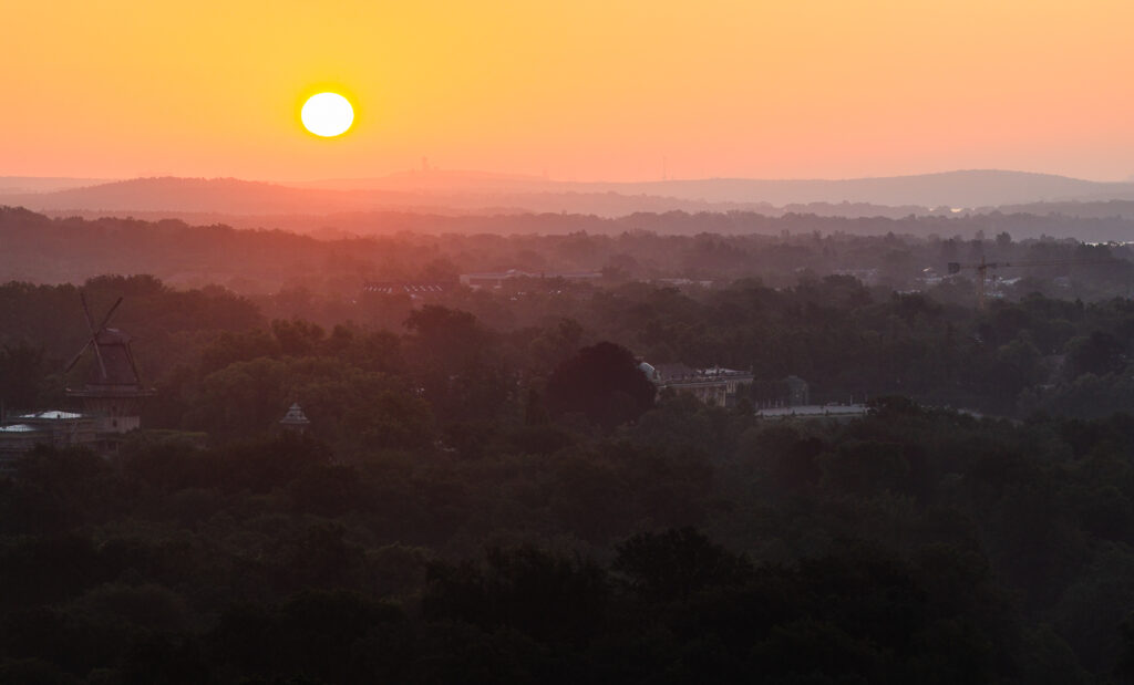
Fig. 4 Early morning light above Park Sanssouci while capturing LiDAR data from 116m AGL.
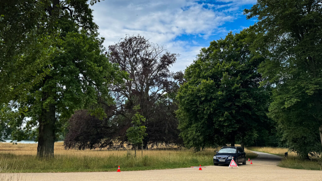
Fig. 5: Flight campaign in the park area of “Neuer Garten” and Pfingstberg. Challenging conditions for STS-01 – three different positions needed to stay in VLOS conditions.