Tag: Point Cloud

FSU Jena wins the SPSG Park3D Project! Updated

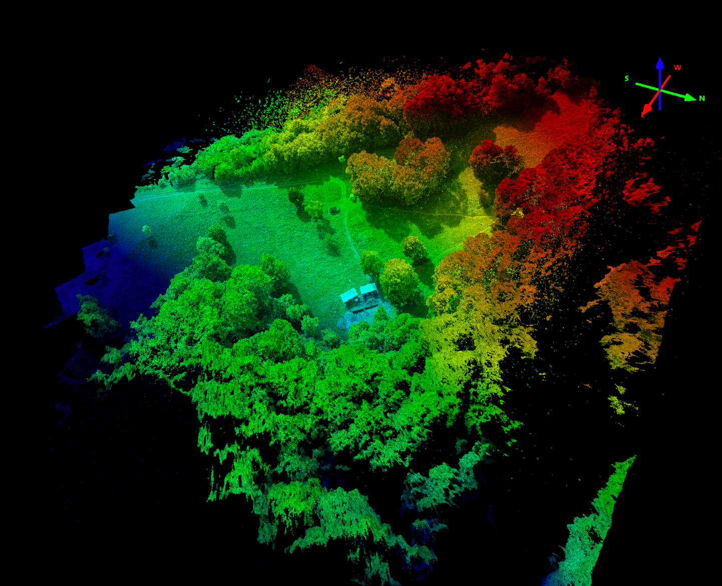
First L2 LiDAR data capture over Park Sanssouci – (2025-07-20)  Priority was on detailed and dense vegetation point clouds. The L2 was used in 120m AGL with 240khz capture rate and 5-returns activated and 70% track overlap at 8m/s speed.  We generated a 2.4billion point cloud description. The following animation is from a downsampled version of only 500 mio points....

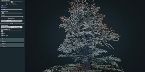
3D point cloud of the 1000 years old Ivenacker Oack Trees

Its always a challenge to work on vegetation point cloud renderings with multi view image matching concepts. In complex 3-dimensional environments and for horizontal image capturing – using a drone is often just not possible. Here horizontal imaging can be an affordable alternative to TLS (Terrestrial Lidar Scanning) systems. Drawback of most OTS consumer electronics camera systems is the missing...

Punktwolkenmodelle für die Archäologie

Die unterschiedlichen Datensätze der Befliegungen für die Grabungen auf dem Alten Gleisberg und bei Kuckenburg in 2017 sind nun vollständig an das Seminar für Ur- und Frühgeschichtliche Archäologie übergeben worden. Die abgeleiteten Datenlayer umfassen jeweils Punktwolkenmodelle im LAS Format, DSM (Digitales Oberflächenmodell ohne Normalisierung) und jeweils das Orthomosaik mit Georeferenzierung von der Befliegung. Alle Daten wurden nach UTM32 WGS84 georeferenziert. Insgesamt wurden Daten...