Category: Agisoft

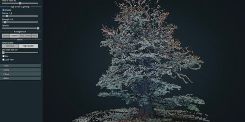
3D point cloud of the 1000 years old Ivenacker Oack Trees

Its always a challenge to work on vegetation point cloud renderings with multi view image matching concepts. In complex 3-dimensional environments and for horizontal image capturing – using a drone is often just not possible. Here horizontal imaging can be an affordable alternative to TLS (Terrestrial Lidar Scanning) systems. Drawback of most OTS consumer electronics camera systems is the missing...
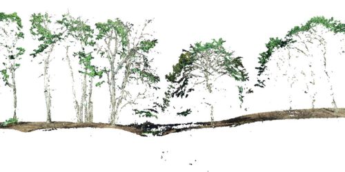
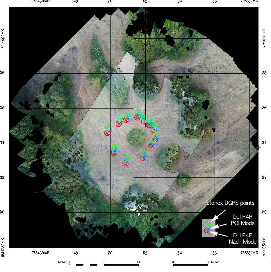
Oblique and cross-grid UAV imaging flight plans – a sneak preview of the analysis of resulting 3D point cloud properties for deciduous forest surfaces – low cost 3D mapping with the Phantom 4R (RTK)

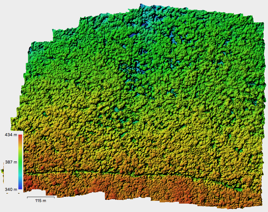
Flight plans / photogrammetry / structure from motion / Metashape / oblique imaging / 3D point clouds / Lastools / Phantom 4R RTK / beech tree / deciduous trees / forest stand structure “Oblique and cross-grid UAV imaging flight plans – a sneak preview of the analysis of resulting 3D point cloud properties for deciduous forest surfaces” by Sören Hese....

The Hainich Flight Campaign

At the end of August 2018 a consortium was initiated by Dr. C. Thiel (DLR) to start a flight campaign within the Hainich national parc area in Thuringia (DLR Jena: Dr. C. Thiel, FSU Jena: Dr. S. Hese, University Göttingen (LS für Bioklimatologie, Prof. Dr. A. Knohl / Dipl.-Ing F. Tiedemann), national parc Hainich: Manfred Grossmann & Andreas Henkel).  The region is...

Erste urbane Copter Befliegung über Jena

In Kooperation mit der Abteilung Geoinformation (Leitung Dr. Markus Meinhardt) der Stadtverwaltung Jena  ( Dezernat III – Stadtentwicklung & Umwelt, Fachdienst Stadtumbau & Infrastruktur) wurde erstmalig durch den Lehrstuhl für Fernerkundung mit einem Quadrocopter eine städtische Flächenbefliegung durchgeführt. Ziel ist hier die Ableitung georeferenzierter  Ortho-Bildmosaike (sogenannte “True Ortho Bilder”), ein Gebäudehöhenmodel und ein texturiertes 3D Fassadenmodel.  Im Rahmen der Befliegung wurden...

Hotspot Effects in Micro Copter Data

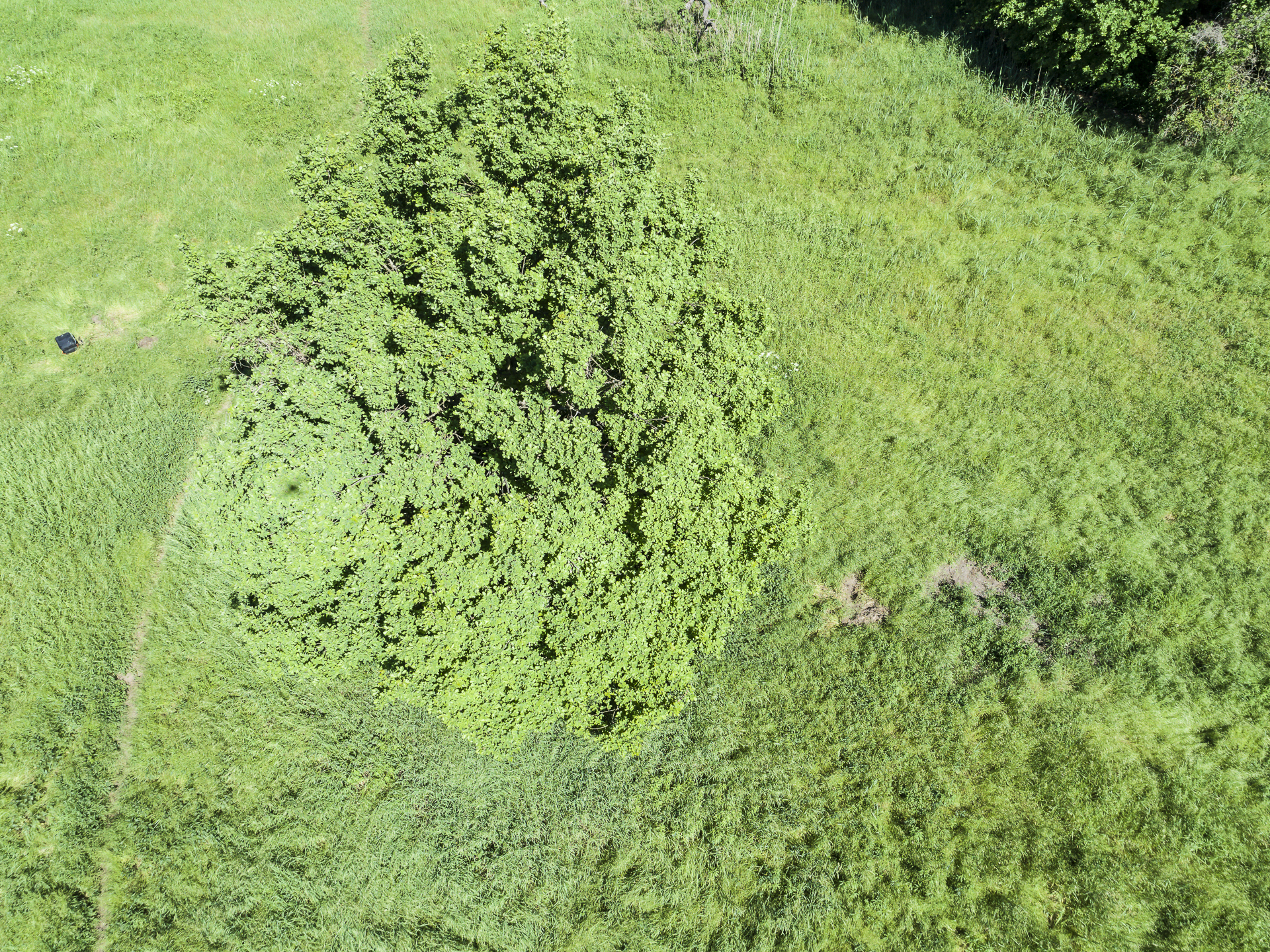
A shot from last year vegetation point cloud mapping in Brandenburg. Strong Hotspot-Effect visible with easily visible shadow projection of the quadrocopter shape on the tree crown texture. Nice example of this direct back-reflection effect on vegetation (crown surface in this example), although you can also clearly see the same effect on the grassland vegetation in the neighborhood of the tree...

Speeding up Agisoft Photoscan

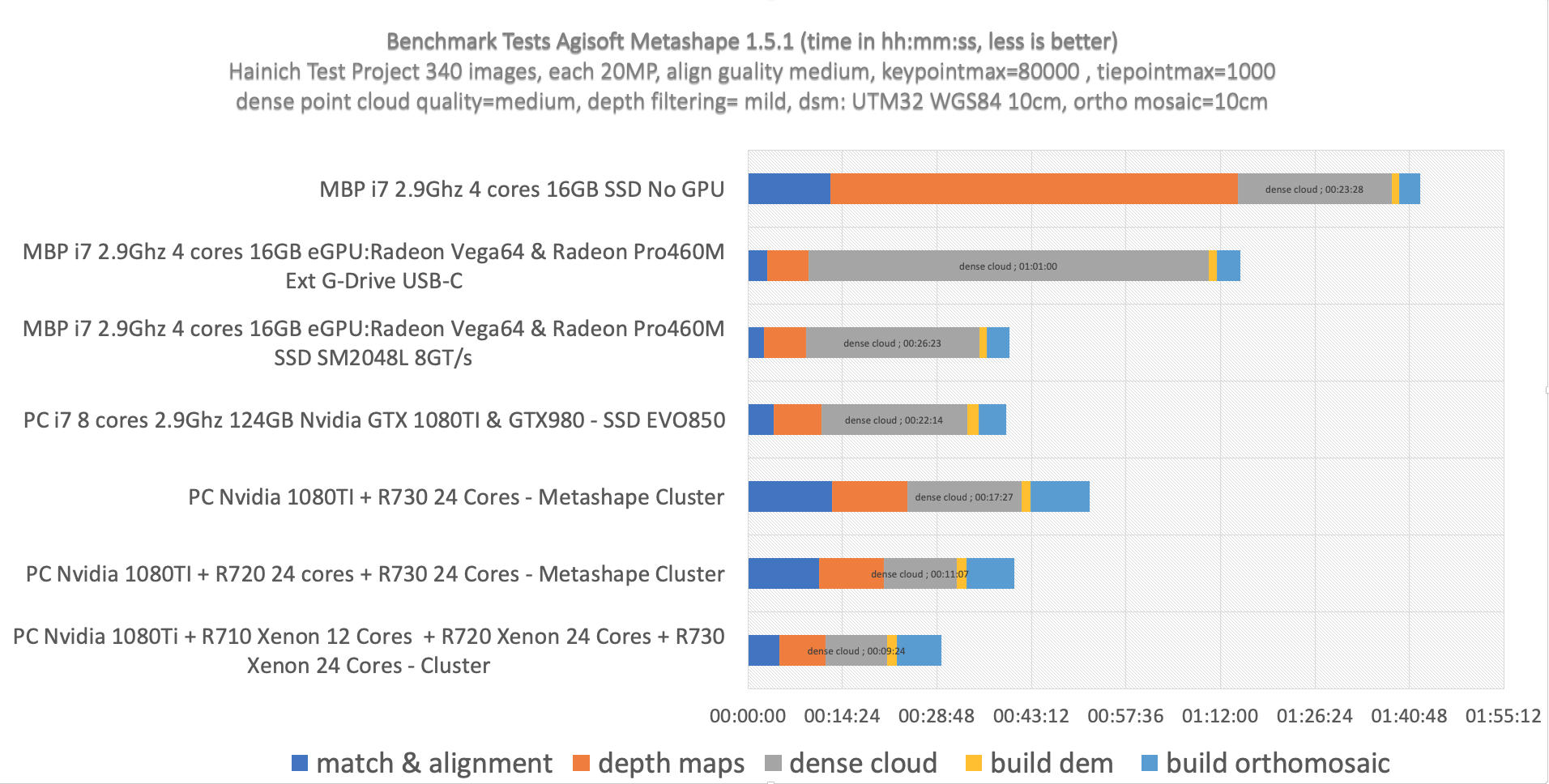
For some of the copter data processing folks Agisoft Photoscan turns out to be the most important tool to calculate point clouds, orthoimages and nadir data mosaics. Problem: very long processing times with dense point cloud calculations with high or ultra-high settings (full resolution image matching with SfM (Structure from Motion) algorithms). Some nice net finds show how multicore processing...