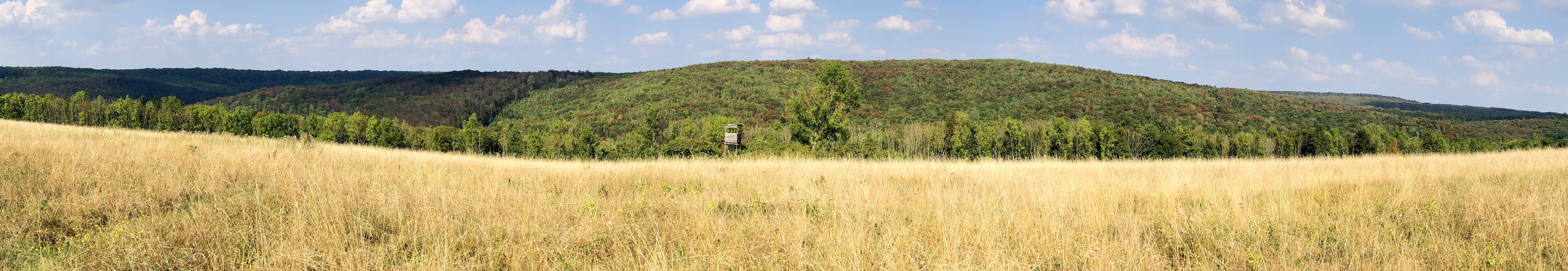
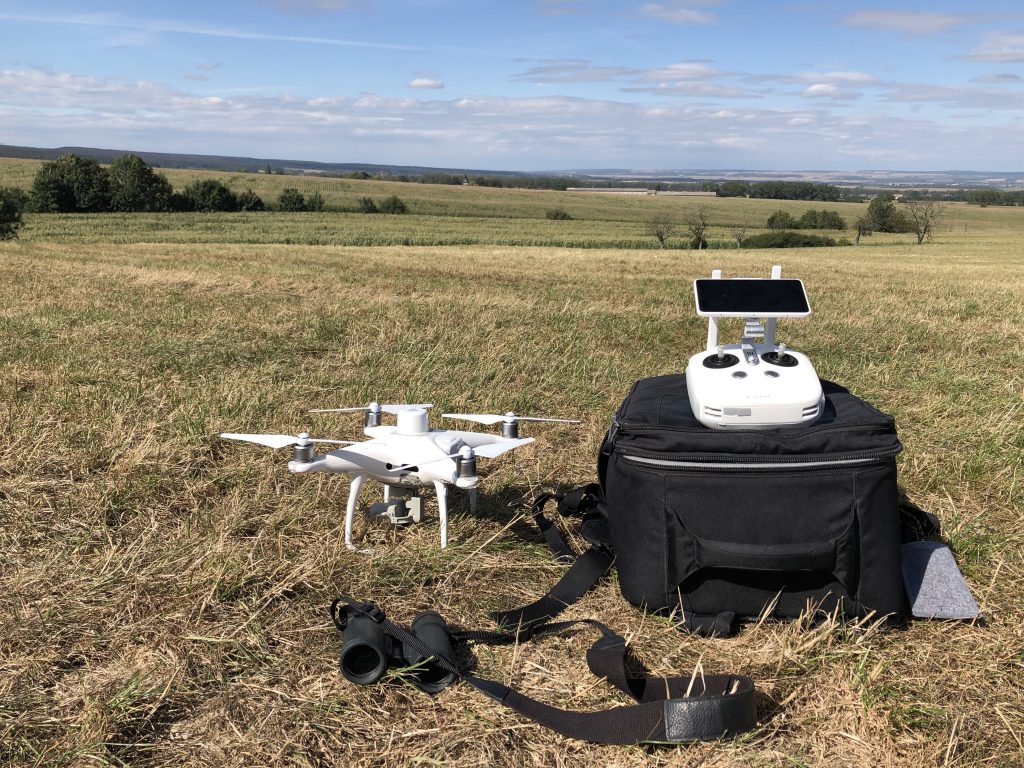
UPDATE: Flying for the Beech Trees II
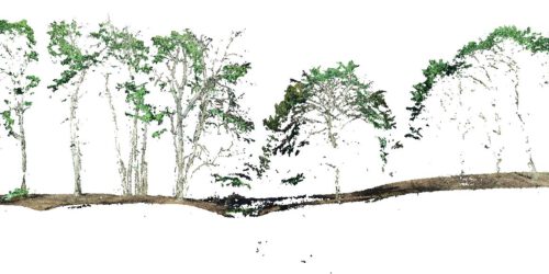
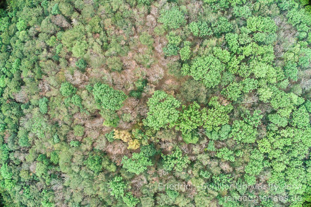
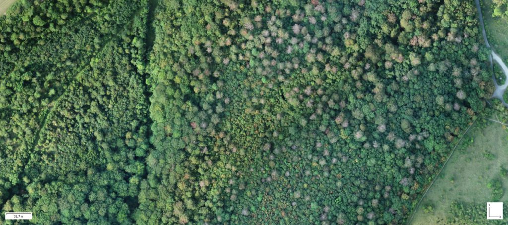
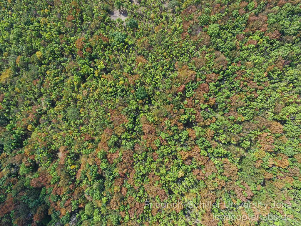
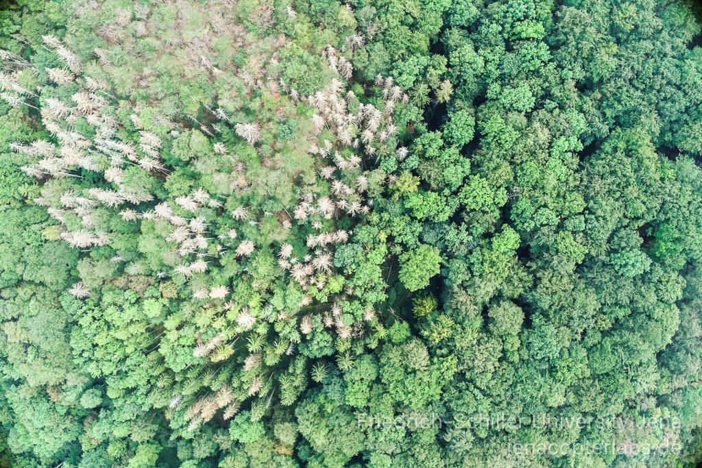
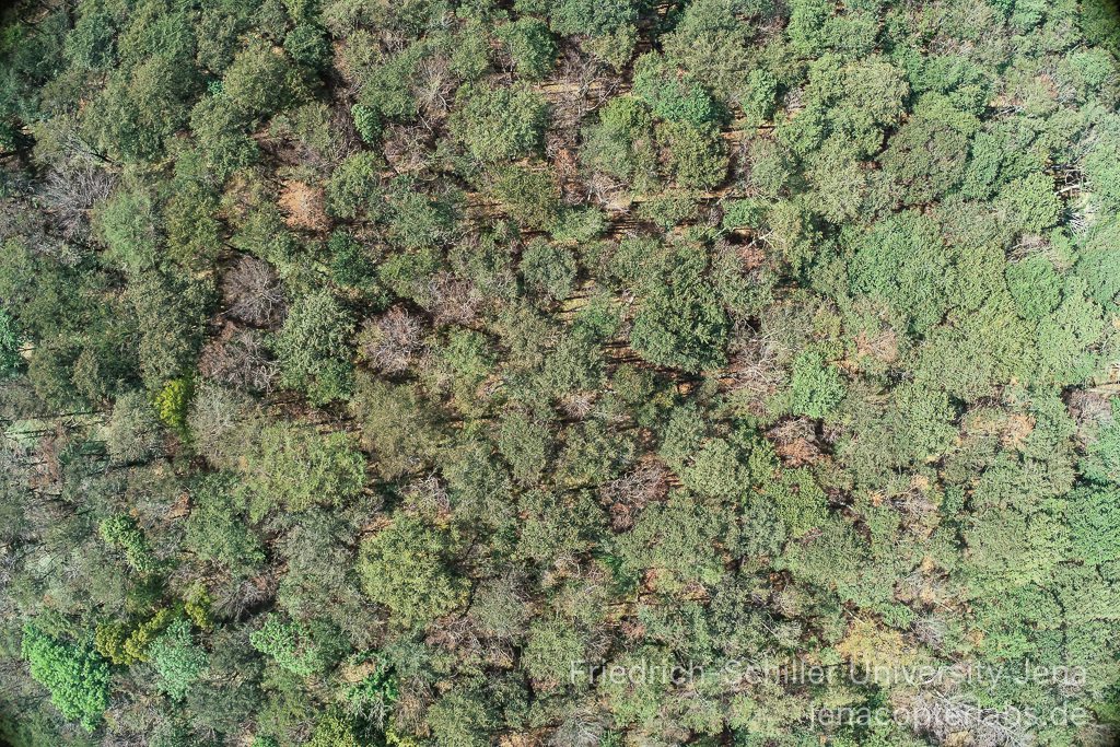
Since July we have been very active covering the forest change in the Hainich National park region using the Phantom 4 Pro copter and the new Phantom 4 RTK (P4R). A project in cooperation with the Hainich national park administration, ThüringenForst and DLR Institute for Data Science Jena. First flights over 5 test areas were done already in July. We also started investigating Sentinel-2 L2A data for Thuringia. Now end of August we repeated the flights with the new Phantom 4 RTK copter system and mapped the same area again covering 400 ha. The time series signal from Sentinel-2 data for the Hainich forest region shows clearly a declining trend. The dry period this summer triggered the dying of beech trees in the park region that have been already under stress in summer 2018 and the remaining beech trees now change the foliage color quickly – much faster than in previous years. The full Sentinel-2 time series comparison (2019 vers. 2018 at the end of October/November 2019 will likely reveal this more clearly. More copter flights will follow in September and October. The change in August is however already mixed with the phenological change and its not possible anymore to deduce a vitality status.
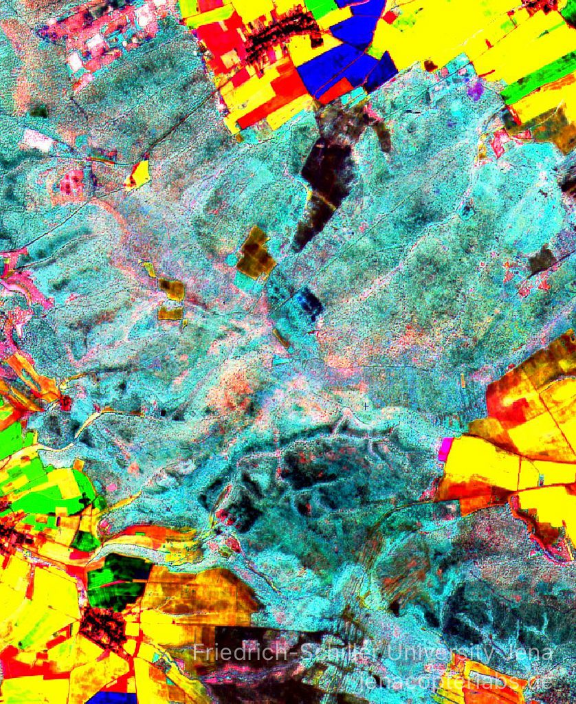
Looking at some Sentinel-2 reflectances from 2018 and 2019 we can easily see the change within the time series. The DWSI (Disease Water Stress Index) shows a clear trend (Gr. Zimmerberg/Hainich National Park):
DWSI 2018: 20.4.2018: 1.20 9.6.2018: 2.29 23.8.2018: 1.79
DWSI 2019: 17.4.2019: 0.71 4.6.2019: 1.35 25.8.2018: 1.09
Thats also what we can see in multitemporal ratio RGBs comparing this spatially more explicit: in some regions the August 2019 DWSI is not even reaching the values of April 2018 (although in August phenology is changing the reflectance quickly):

First results from our second flight campaign at the 31st of August 2019 now show more trees effected in the western part of the Hainich region (compared to early July), the eastern region is partly more stable. The central area with the Huss area clearly now shows more variability than in July – indicating also phenological changes due to the start of the foliage coloring of the beeches now.
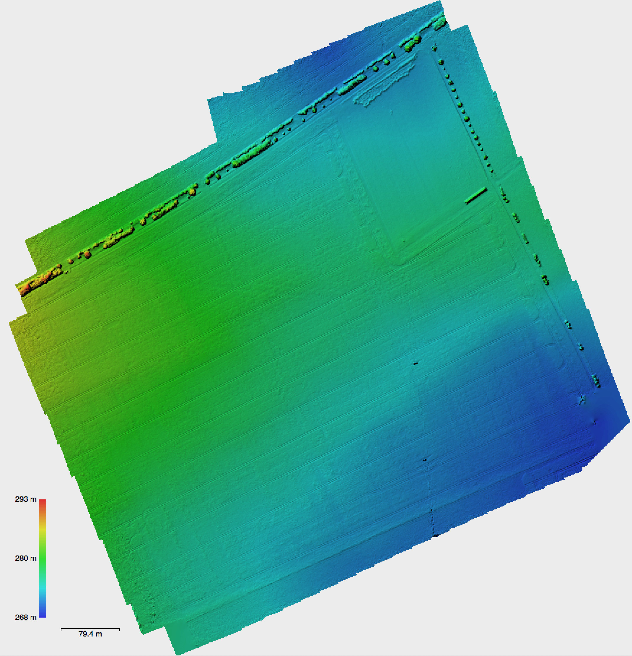
We also mapped 300 ha of maize fields to investigate wild pig damages in the direct neighborhood of the national parc area – more to come on this topic/project later (a cooperation of FSU Jena, DLR Jena and NLPV Hainich as part of the wild boar research project).
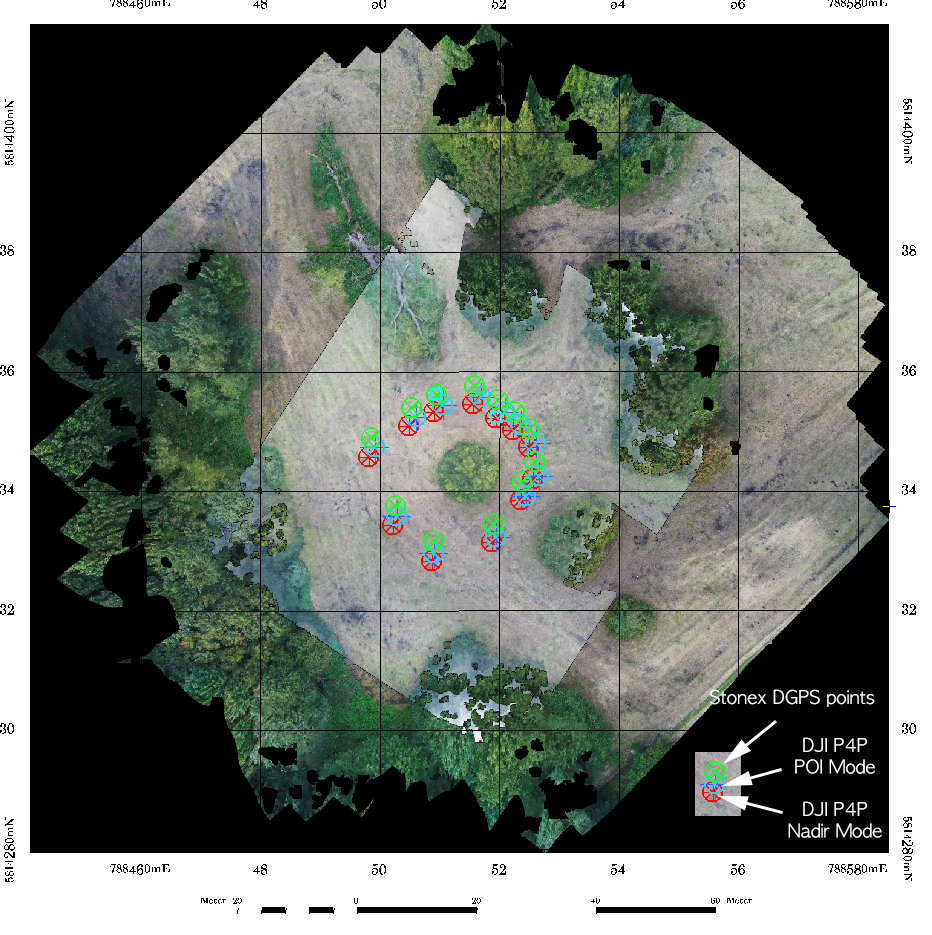
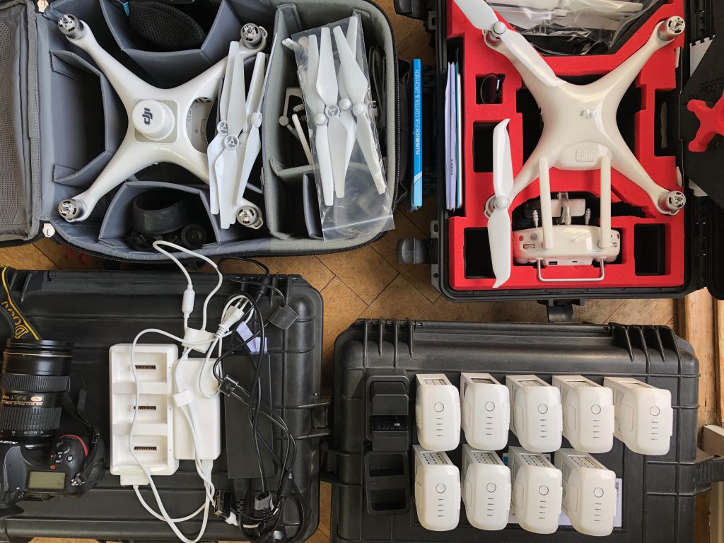
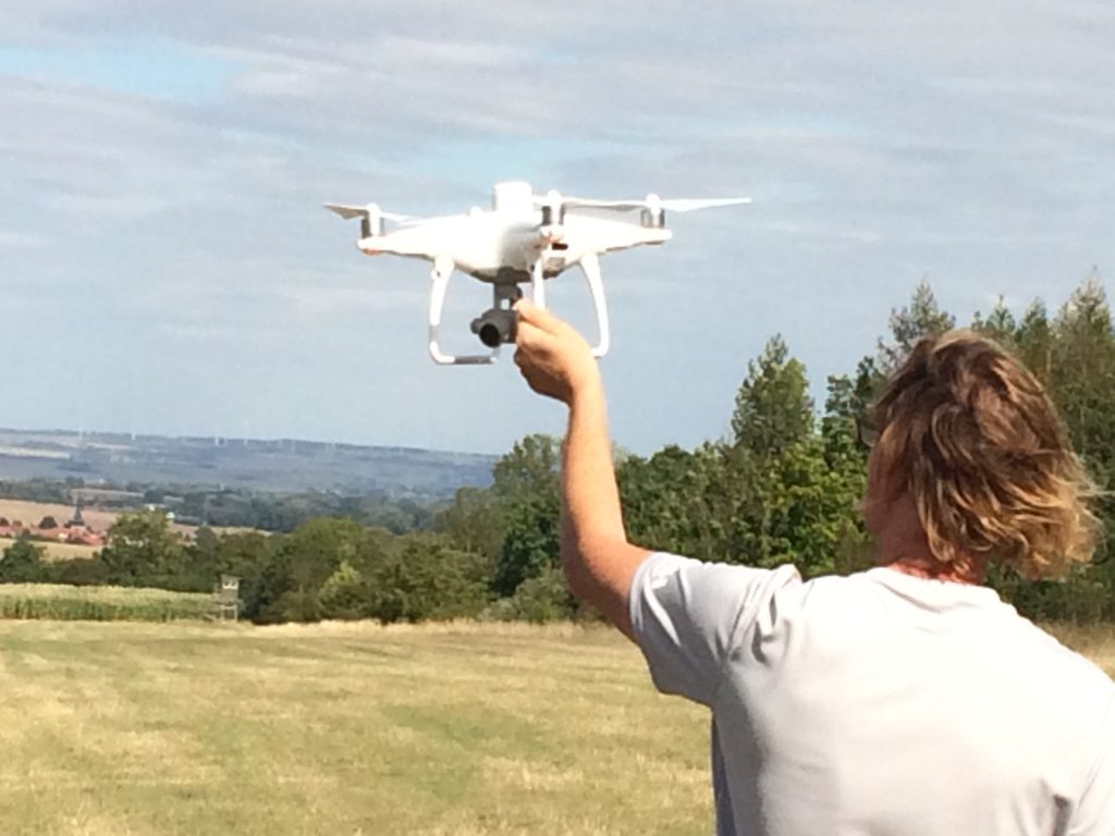
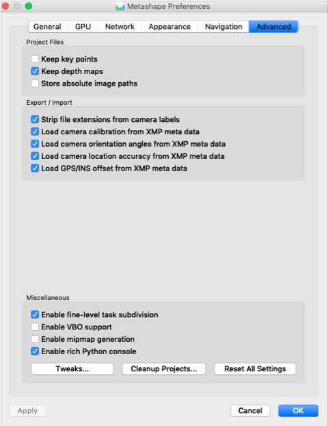
The new Phantom RTK system (Real Time Kinematic) receives a SAPOS correction signal via a mobile SIM card in real-time – the resulting geometric precision makes reference ground control points more/less unnecessary. The processed data products are more accurate georeferenced and repeating data acquisitions show much better absolut geometric fit. In forested regions using ground control points is often impossible. The RTK systems are the only solution to get better co-registration accuracy and to avoid the doming effect in SfM post processing since the image data is calibrated using the camera calibration metadata, the camera orientation angles, camera location accuracy and GPS/INS offset data that comes with xmp metadataset within every image (check figure below). (Nice read here: https://onlinelibrary.wiley.com/doi/epdf/10.1002/esp.3609). However – the RTK signal seems sometimes to get lost – the P4R than switches to standard GNSS for some time – this is likely due to a low quality 4G signal but it is not fully understood so far (mobil phones work like a charm at the same time wih LTE). You end up with a mix of GNSS and RTK measured positions. My first impressions in September are that these “GNSS images” are sometimes a problem in the alignment-step of the workflow.
The Phantom 4 RTK creates a “Survey” folder that holds a PPKRAW.bin file with sat observations and ephemeris data in RTCM3.2 format an EVENTLOG.bin file with the exposure time log file in bin format, and exposure time log file in ASCII format and a Rindex.obs file. So the P4RTK stores PPK data also for postprocessing. Also nice: ergonomics of the P4R: the controller battery is hot swap-able – there is a Chinese voice shouting that you have 3 minutes to exchange the controller battery when you work the batteries down to approx. 10 percent. That is very handy because the controller is indeed eating the batteries – likely due to the very bright display of the P4R-RC. The controller however clearly needs a firmware update – nobody only some understand/s the Chinese lady – it should be also repeated in English ;).
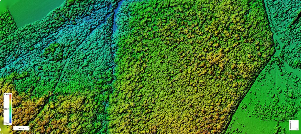
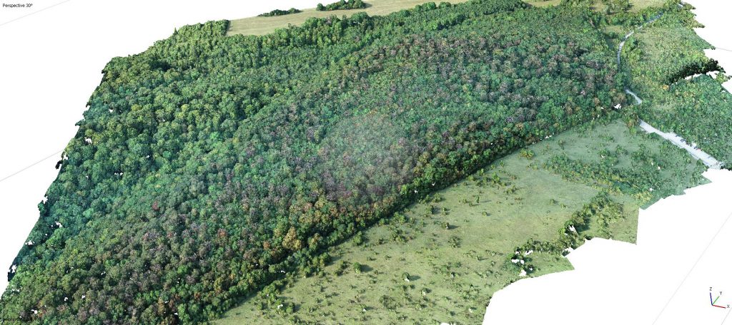
The UAV flight campaigns and the derived datasets (very detailed point cloud files, digital surface models and RGB ortho mosaics) will serve as reference data for the Sentinel-2 time series analysis in 2019 – we can directly link changes in canopy structure to the changing signal of the Sentinel-2 spectral signatures. This data is also used by the national parc administration to quantify the amount of beech trees that are effected. End of August however the weather conditions now change and cloud free coverage for S2 data is getting more unlikely.
More to come – we will be doing more analysis in September and October.
PD Dr. Sören Hese – Department for Earth Observation – Friedrich-Schiller-University Jena.