CIR Airphoto Classification and Planning for 2020
April 2020:
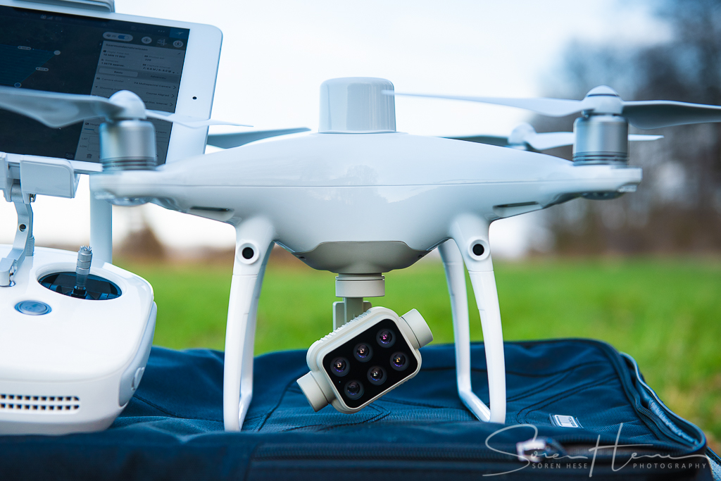
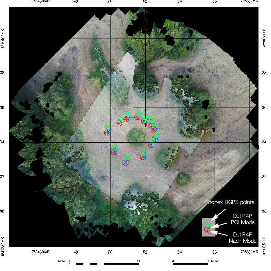
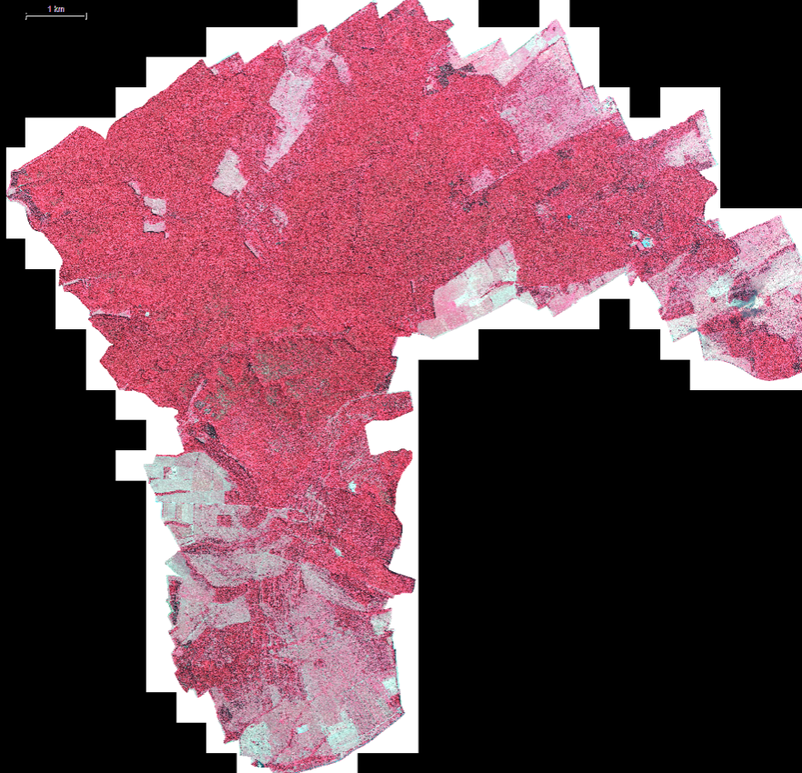
Planning for the May flight campaign is in full swing. The test sites will be extended in 2020. Figure below: overview of the 2019 test areas from a presentation at DLR Bonn in 2019. We will extend this to areas in the northern Hainich (Dachsberg) and also covering the private forested areas in the northern Hainich region. At the same time planning for flights in cooperation with environmental government agencies of Berlin for the old landscape park areas in the south-west (Glienicker Park) started. These old beech trees also suffer on specific very dry locations and some might not even wake up this spring. We will cover a 100 ha region in this area this summer. Since its fully within the EDR-4 no-fly zone – this will need some paper work to be organized.
—

—
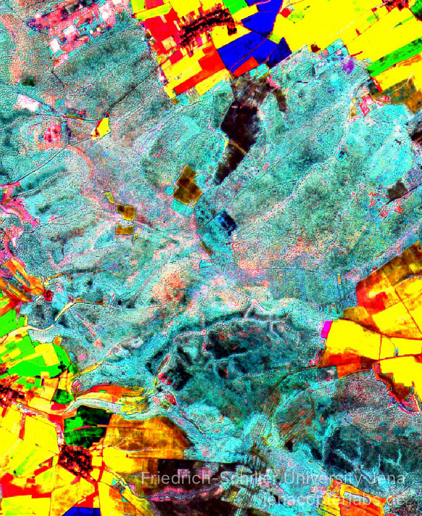
Quantitative analysis of the 2018 and 2019 CIR image data mosaic is nearly finished – we will publish results this year as preprint. This work individually delineated all crowns in the park region and classified 4 different damage categories. We also classified crown species using a supervised Convolutional Neural Network (CNN) training concept with reference data from field work in winter.
—
—