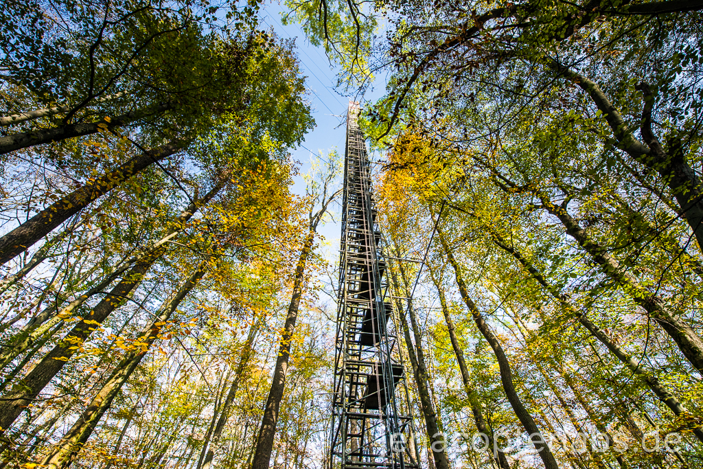
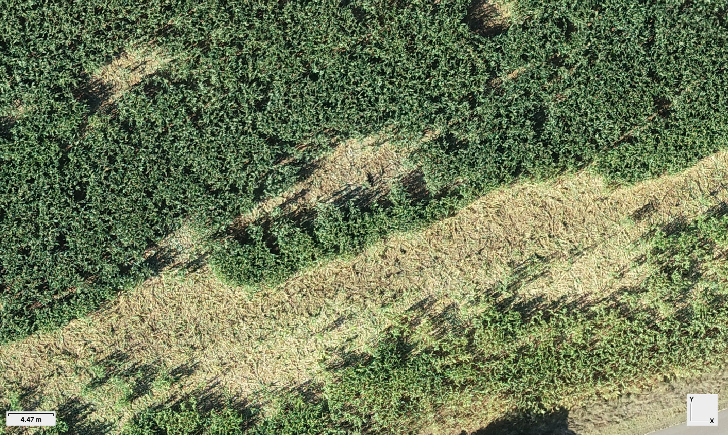
Home > Uncategorized “Geo409 Data Exploration” concept – UAV update GEO409 Data Exploration in Remote Sensing Categories:Uncategorized Sören Hese Related Posts Uncategorized Potree for Interactive Point Cloud Visualization Uncategorized Close-Range Photogrammetry – Animation Uncategorized Late October ’19 Flight Campaign in the Hainich NP Uncategorized The ICAO legend Uncategorized Wild Boar Damage Mapping in Maize Fields Phantom / Reviews / Uncategorized Phantom 4 Pro – lens flare issues Prev Post New UAV regulations in place and active Next Post Erste Lehrbefliegung für den BSc Geographie