MDR Doku with EO contribution
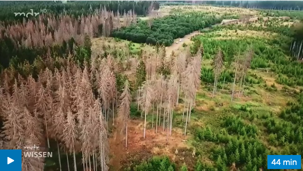
A nice MDR Wissen Doku has been published with contributions from our Hainich National Park beech declining mapping project. We explain some of the concepts how we use copter technology to analyze Sentinel-2 satellite data of the forest decline in the Hainich forest region.
https://www.mdr.de/video/mdr-videos/d/video-338706.html