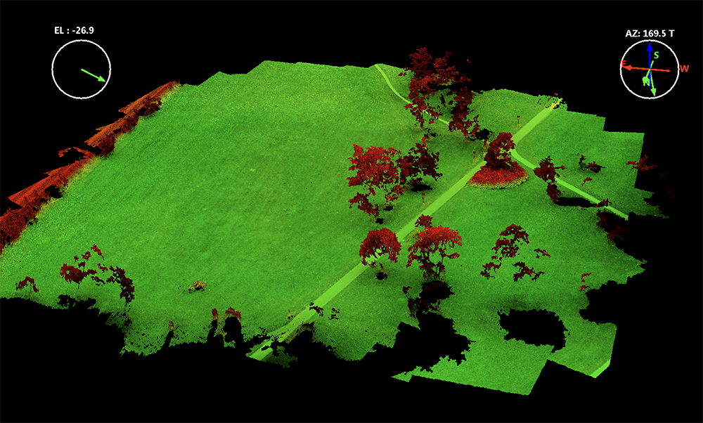
Home > General / Quadrocopter Teaching Concept – Operating Multicopters and Copter Data Analysis Teaching Categories:GeneralQuadrocopter Tags:education Sören Hese Related Posts Uncategorized Geodäten “erobern” den Luftraum Point Clouds / Quadrocopter / Teaching Erste Lehrbefliegung für den BSc Geographie News / Quadrocopter DJI offers student discounts Crown Structure / Forest decline / LiDAR / Park3D / Point Clouds / Quadrocopter / Workflow DJIs new UAV Lidar System – the L3 General / News Paper Download from the UAV-g opened General 169. DVW-Seminar “UAV 2018 – Vermessung mit unbemannten Flugsystemen” Prev Post Point Cloud Animation from P3A Copter Flight Next Post DJI offers student discounts
Crown Structure / Forest decline / LiDAR / Park3D / Point Clouds / Quadrocopter / Workflow DJIs new UAV Lidar System – the L3