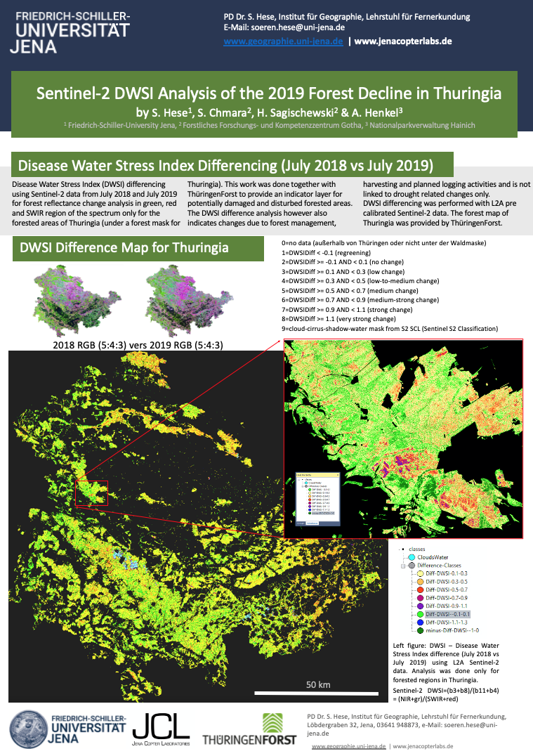
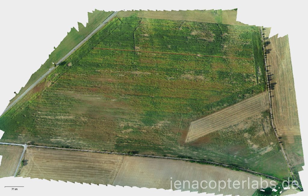
RTK Precision Mapping of Wild Boar Maize Field Damages
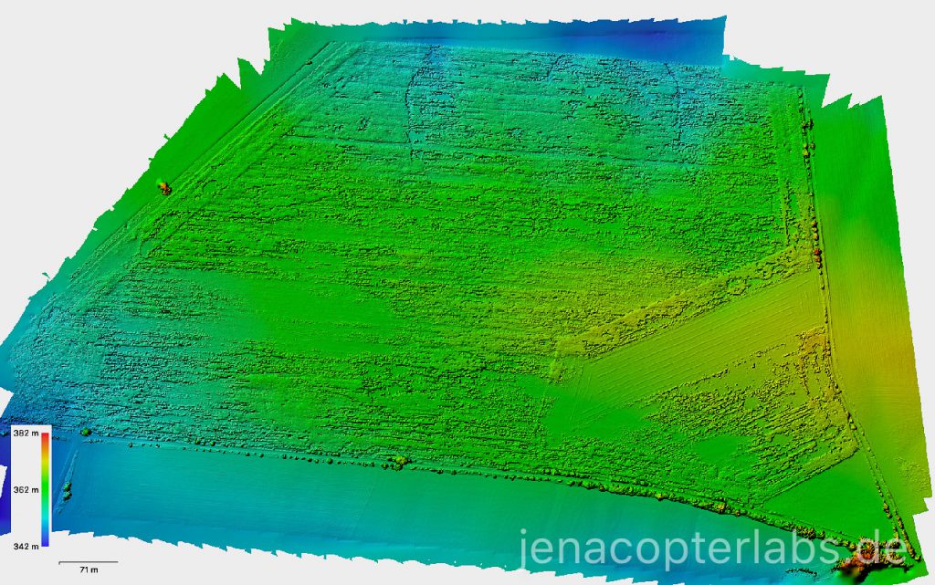
As a side product of our Hainich NP forest monitoring program in summer/autumn 2019 we also mapped maize fields west of the Hainich National Park region. These fields are heavily damaged by wild boar regularly and the change is detectable already after days. The RTK Phantom that we used in September for the maize fields created very precise datasets that show the change in 3 cm data precisely. Since the absolut georeferencing accuracy is in the cm range we had no problems to detect also small scale changes within a maize field on individual plant scale. The data sets were captured from 100 m flight altitude and processing with the full workflow in Agisoft Metashape to super high res point clouds (1.2 billion points) and 0.029 m digital surface models in UTM32/WGS84.
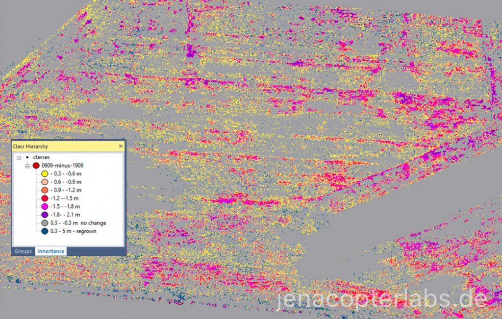
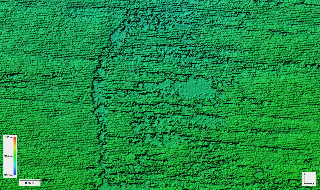
The resulting surface models from 3.9.2019 and 19.9.2019 were merged to one layer stack and subtracted. The difference image was classified in 0.3 m height difference classes. The change is clearly visible and can be also quantified in area and vegetation volume loss (figure 1).

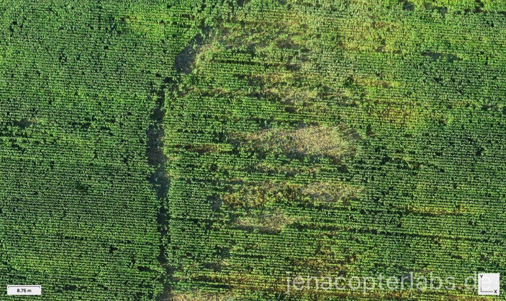
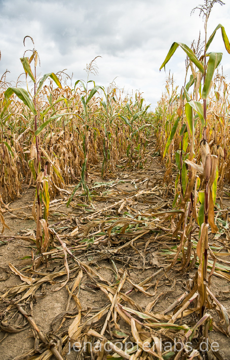
Ortho image subset – Hainich – maize field south of Berka v.d.Hainich with wild boar damage (RGB data Phantom 4RTK) 3.9.2019.