Towards Large-Scale TreeQSM Analysis: Overcoming Computational Bottlenecks

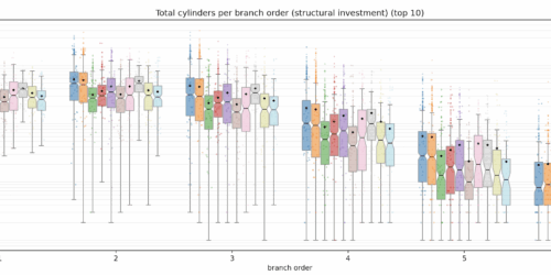
Last update: 2026-08-26 Working with high density point clouds of trees you quickly realize that you want to use quantitative structure models (QSM) to extract higher dimensional individual tree information from your 3D data. Basically there is no other technique to really describe the internal structural information in fully developed 3D point clouds of tree objects. Deep learning networks can...

Summer `26 Park3D flight campaign finished

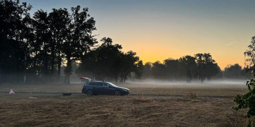
Summer Campaign 2026 – SPSG Parks, Potsdam The summer flight campaign of 2026 has now come to an end. This week we completed the final acquisitions over Pfingstberg and Ruinenberg, concluding eight consecutive days of airborne data collection across the historic park landscapes of the SPSG in Potsdam. In total, approximately 800 ha were surveyed, acquiring leaf-on DJI L2 LiDAR...

The Deciduous Tree Crown Segmentation Challenge

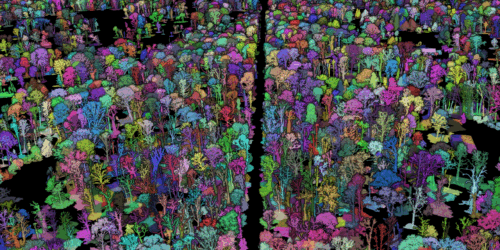
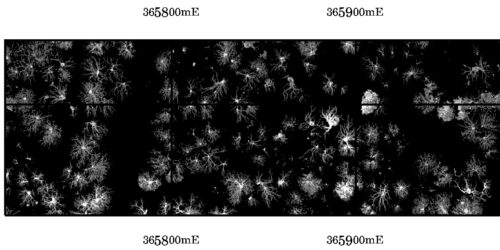
  Last update: 2026-08-26 Deciduous tree crown segmentation is widely recognized as a particularly challenging task. While various approaches for conifer crown delineation have proven successful, their transferability to deciduous forest stands remains limited. Accurate crown segmentation constitutes a critical prerequisite for assessing the vitality of individual deciduous trees based on spectral or structural metrics. In particular, in dense deciduous...

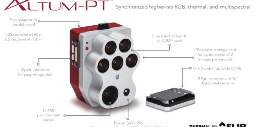
Micasense Altum-PT Data Capturing and Processing – the Park3D Project

  Another report from the Park3D project in cooperation with SPSG (Stiftung Preußische Schlösser & Gärten). Using multispectral cameras on UAV platforms has been not so straight forward in the past and the situation hasn’t changed much. If you are used to the Mavic 3 Multispectral RTK or the Phantom 4 Multispectral RTK systems than the integrated way how DJI...

DJIs new UAV Lidar System – the L3

DJI has recently announced the release of its new UAV LiDAR system — the DJI Zenmuse L3. For those engaged in UAV-based LiDAR research and applications, this long-anticipated successor to the L2 represents a significant technological advancement. The cost of professional-grade airborne LiDAR systems with high-accuracy capabilities has remained relatively stable over the past years. For example, some of the...

FSU Jena wins the SPSG Park3D Project! Updated

  First L2 LiDAR data capture over Park Sanssouci – (2025-07-20)  Priority was on detailed and dense vegetation point clouds. The L2 was used in 120m AGL with 240khz capture rate and 5-returns activated and 70% track overlap at 8m/s speed.  We generated a 2.4billion point cloud description. The following animation is from a downsampled version of only 500 mio...

environMENTAL EU-Project with 9 Mio Euro budget started with Kick-Off Meeting in Volterra/Italy

Kickoff Projekt Meeting in der Toskana (Volterra) 6.-9.9.2022. Das von der EU mit 10 Mio Euro geförderte Projekt environMENTAL unter der Leitung von Prof. Dr. Gunter Schumann von der Charité und der Fudan-Universität Shanghai wird die Auswirkungen von Klimaveränderungen, Umweltverschmutzung, Urbanität, regionalen sozioökonomischen Bedingungen sowie von durch die Covid19-Pandemie hervorgerufenem psychosozialen Stress auf die Gesundheit des Gehirns untersuchen und die...

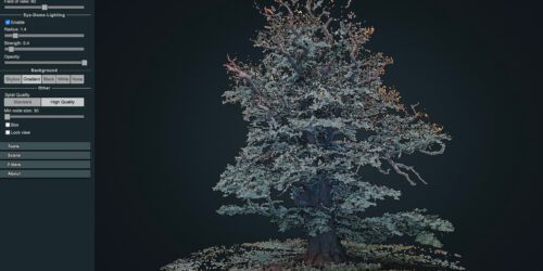
3D point cloud of the 1000 years old Ivenacker Oack Trees

Its always a challenge to work on vegetation point cloud renderings with multi view image matching concepts. In complex 3-dimensional environments and for horizontal image capturing – using a drone is often just not possible. Here horizontal imaging can be an affordable alternative to TLS (Terrestrial Lidar Scanning) systems. Drawback of most OTS consumer electronics camera systems is the missing...

Oblique and cross-grid UAV imaging flight plans – a sneak preview of the analysis of resulting 3D point cloud properties for deciduous forest surfaces – low cost 3D mapping with the Phantom 4R (RTK)

Flight plans / photogrammetry / structure from motion / Metashape / oblique imaging / 3D point clouds / Lastools / Phantom 4R RTK / beech tree / deciduous trees / forest stand structure “Oblique and cross-grid UAV imaging flight plans – a sneak preview of the analysis of resulting 3D point cloud properties for deciduous forest surfaces” by Sören Hese....