Home > Software / Teaching / Workflow Data Preprocessing with PCI and Python Satellite Data Preprocessing with Python/PCI I (Import & Ortho) Satellite Data Preprocessing with Python/PCI II – Cloud Masking, Haze Removal, Terrain Derivates – ATCOR Categories:SoftwareTeachingWorkflow Sören Hese Related Posts Crown Structure / Forest decline / L2 / LiDAR / Park3D / Point Clouds / Quadrocopter / Workflow FSU Jena wins the SPSG Park3D Project! Updated Agisoft / Crown Structure / Phantom / Point Clouds / Quadrocopter / Workflow The Hainich Flight Campaign Agisoft / Crown Structure / Phantom / Point Clouds / Workflow Oblique and cross-grid UAV imaging flight plans – a sneak preview of the analysis of resulting 3D point cloud properties for deciduous forest surfaces – low cost 3D mapping with the Phantom 4R (RTK) Point Clouds / Quadrocopter / Teaching Erste Lehrbefliegung für den BSc Geographie Archaeology / Quadrocopter / Software / Workflow “DJI GS Pro” – Ground Station Testing Agisoft / Crown Structure / Point Clouds / Workflow 3D point cloud of the 1000 years old Ivenacker Oack Trees Prev Post Intra field growth variability Next Post Erste urbane Copter Befliegung über Jena
Crown Structure / Forest decline / L2 / LiDAR / Park3D / Point Clouds / Quadrocopter / Workflow FSU Jena wins the SPSG Park3D Project! Updated
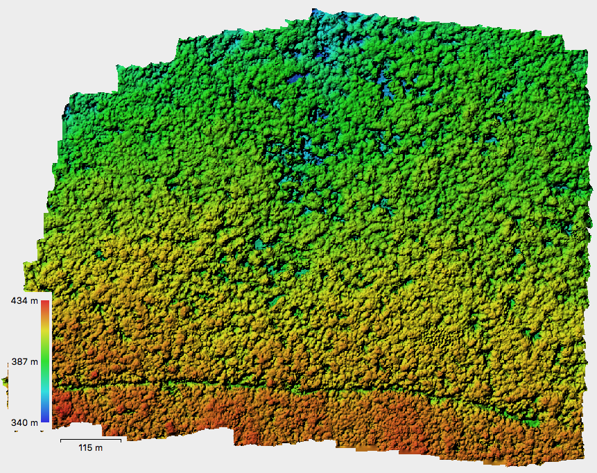
Agisoft / Crown Structure / Phantom / Point Clouds / Quadrocopter / Workflow The Hainich Flight Campaign
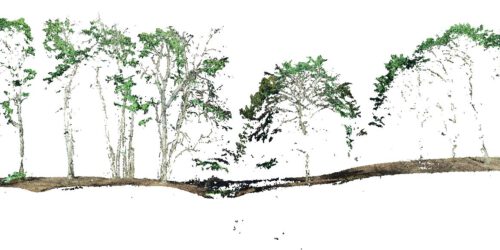
Agisoft / Crown Structure / Phantom / Point Clouds / Workflow Oblique and cross-grid UAV imaging flight plans – a sneak preview of the analysis of resulting 3D point cloud properties for deciduous forest surfaces – low cost 3D mapping with the Phantom 4R (RTK)
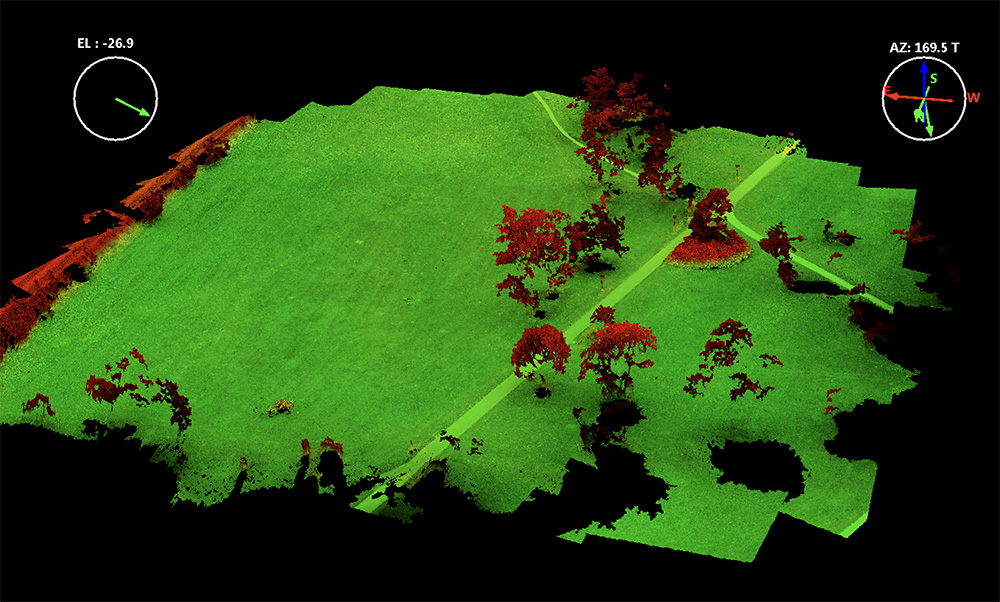
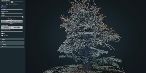
Agisoft / Crown Structure / Point Clouds / Workflow 3D point cloud of the 1000 years old Ivenacker Oack Trees