PD Dr. S. Hese on a temporary Professorship @Martin-Luther- University Halle-Wittenberg

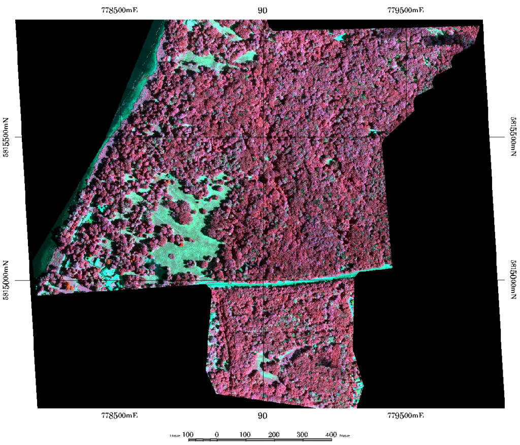
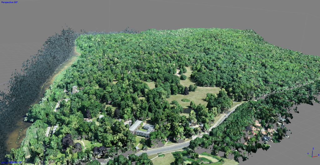
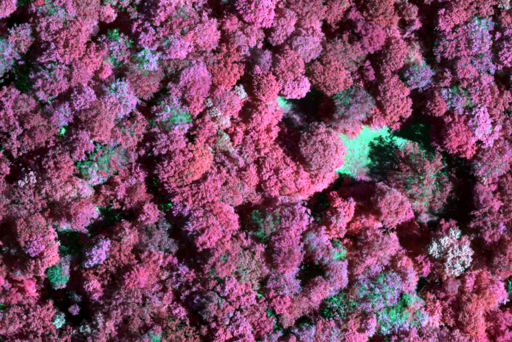
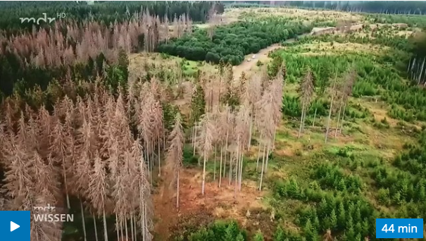
Since first of April I am working on a temporary Professorship position @Martin-Luther-University Halle-Wittenberg leading the section “Digital Geography” at the Institute of Geoscience and Geography. At Friedrich-Schiller-University Jena I am right now on a leave and will likely be back for the MSc Geoinformatics courses in Summer 2021 @FSU Jena. This has no direct impact on my research projects since I will pursue my research on drought induced deciduous forest damage analysis as I did before.

mtk Dr. Sören Hese

DJI Terra processed Phantom 4 M CIR data mosaic of the Landscape Park Glienicke area in the South West of Berlin – damaged individual deciduous tree crowns show up in greenish shades. The dataset also shows partly defoliated tree crowns. Mtk on CNN damage classification in this project.
A DSM visualization of the historic park areas of the Landscape Park Glienicke in the South-West of Berlin – an area that is showing severe beech tree degradation. A snapshot from processing P4RTK/M data for damage mapping with CNNs from Juni 2020.
Perspective visualization of the Landscape Park Glienicke from June 2020 (P4R ortho image mosaic from 600 single 20MP shots – RGB.
CIR P4M data mosaic subset showing defoliation and change in crown structure (processing done in DJI Terra software). 8 cm, UTM32 WGS84, P4M.

Sören Hese

Leave a Reply

Your email address will not be published. Required fields are marked *

Post comment